Gwynedd / Eryri (Snowdonia) · United Kingdom
Tal-y-llyn Pass
A487Cross Foxes to Tal-y-llyn
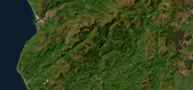
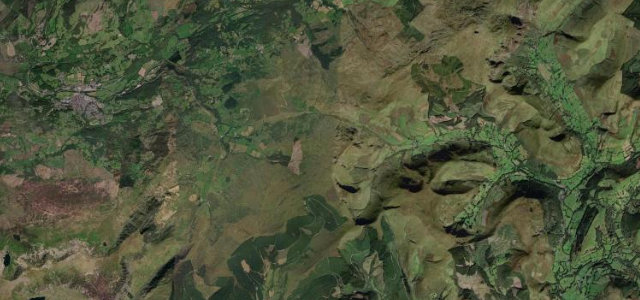
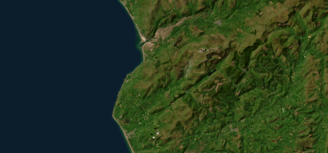
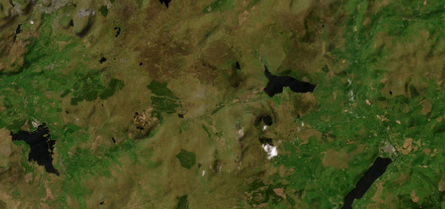
Bwlch Llyn Bach pass under Cadair Idris from Cross Foxes to Tal-y-llyn lake.
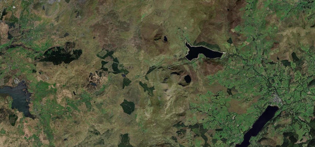
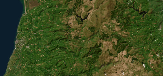
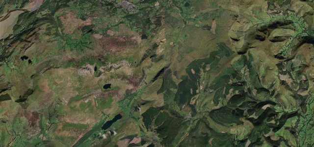
The A487 climbs Bwlch Llyn Bach, the Tal-y-llyn Pass, to about 285 m beneath the cliffs of Cadair Idris, dropping from Cross Foxes near Dolgellau down towards the ribbon lake of Tal-y-llyn at Minffordd. It is a flowing, well-surfaced mountain road with a dramatic backdrop, and the car park at the former Llyn y Tri Greyenyn is a noted spot for watching jets on the Mach Loop. Mind oncoming traffic on the faster bends, stopped cars and pedestrians at the Mach Loop layby, and crosswinds and fast weather changes under Cadair Idris.
Where it runs5.5 mi · point to point
Navigate to the start: Apple Maps · Google Maps
Character
Corners
busiest around mile 5Elevation
under 4%4–8%over 8%104.9 – 295.9 mPoints of interest3 stops
- Mach LoopViewpoint2.0 mi in
- Gwanas-Fawr Roman Marching CampLandmark0.3 mi in
- Waun LlefenniViewpoint2.0 mi in
Hazards
- Fast oncoming traffic
- Mach Loop parked cars
- Mountain crosswinds
Sources
“This leads you through one of the most spectacular mountain passes in Wales - the Tal-y-llyn Pass - with Cader Idris high above you to the right.”
Verified route: mapped from real road geometry and fact-checked by a human editor. How roads get checked
Driving the Tal-y-llyn Pass: quick answers
How long does it take to drive the Tal-y-llyn Pass?
How difficult is the Tal-y-llyn Pass to drive?
When is the best time to drive the Tal-y-llyn Pass?
Nearby roads
The closest great drives to Tal-y-llyn Pass.