Wales · United Kingdom
Cambrian Mountains
A44Penparcau to Llangurig
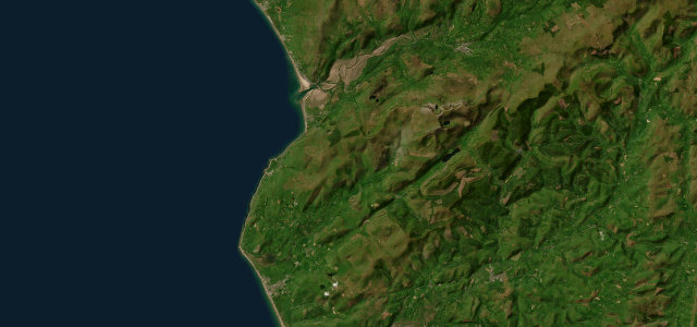
A lonely crossing of mid-Wales between Aberystwyth and the headwaters of the Wye.
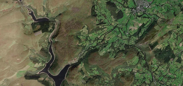
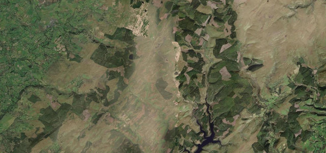
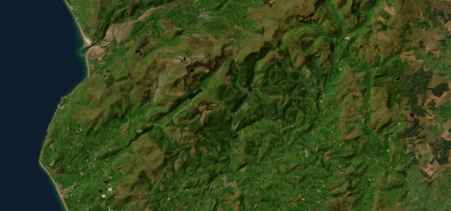
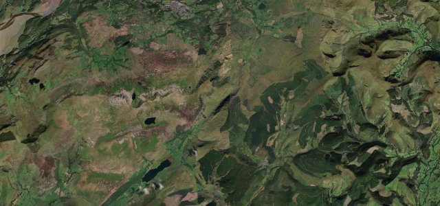
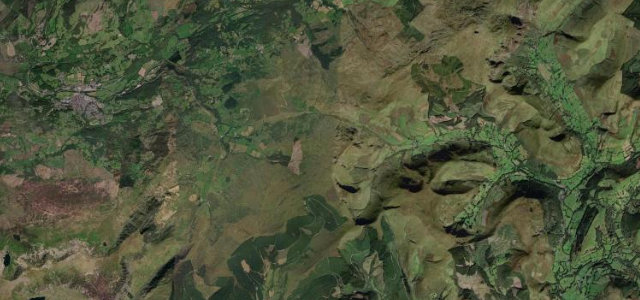
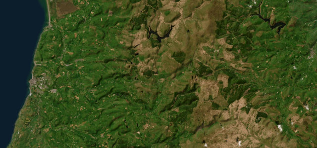
The A44 climbs from the coast at Aberystwyth across the empty Cambrian Mountains toward Llangurig, through Eisteddfa Gurig under Plynlimon. It is remote and quiet with long gradients; carry fuel and patience, and watch for sheep on the open sections.
The emptiest miles in Wales, and that’s exactly their appeal. Just you, the sheep and a road unspooling beneath Plynlimon, loneliness has rarely felt this good.
Why we picked it
Scenery
Best seasons
In these collections
In these guides
Where it runs23.8 mi · point to point
Navigate to the start: Apple Maps · Google Maps
Character
Corners
busiest around mile 8Elevation
under 4%4–8%over 8%12.6 – 437 mPoints of interest2 stops
- Nant yr ArianViewpoint9.2 mi in
- Elvis RockLandmark16 mi in
Hazards
- Remote, limited fuel and signal
- Roaming sheep
- Long exposed gradients
Sources
“It is known for its curvy, narrow sections and breathtaking views, with plenty of stops along the way.”
Verified route: mapped from real road geometry and fact-checked by a human editor. How roads get checked
Driving the Cambrian Mountains: quick answers
How long does it take to drive the Cambrian Mountains?
How difficult is the Cambrian Mountains to drive?
When is the best time to drive the Cambrian Mountains?
Nearby roads
The closest great drives to Cambrian Mountains.