Wales · United Kingdom
Abergwesyn Pass
Abergwesyn to Tregaron
Drovers road over the Devil’s Staircase hairpins.
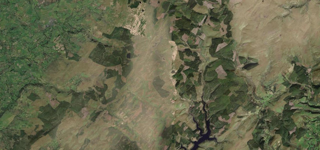
This single-track former drovers route runs roughly 14 miles between Abergwesyn and Tregaron across the Cambrian Mountains. Its most famous section, the Devil’s Staircase, climbs a series of steep hairpins reaching around 25 percent. Mind the severe gradients, blind hairpins and the long stretches with no passing traffic or phone signal.
Scenery
MountainMoorlandForestValley
Best seasons
SpringSummerAutumn
In these collections
In these Grand Tours
In these guides
Where it runs16.1 mi · point to point
AbergwesynStart · Wales
TregaronEnd · Wales
Navigate to the start: Apple Maps · Google Maps
Character
Corners55bends
Tightness9of 10
Max gradient25%≈ 1-in-4
Climb641 mtotal ascent
Summit482.2 mhighest point of the line · 1,582 ft
Steeper than 9 in 10 roads here in the catalogue.
Corners
busiest around mile 8Elevation
under 4%4–8%over 8%167.9 – 482.2 mPoints of interest3 stops
- Henry Richard MemorialLandmark16 mi in
- Ffrwd Camddwr WaterfallLandmark10 mi in
- Cwm Berwyn ViewpointViewpoint12 mi in
Hazards
- Devil's Staircase hairpins up to 25 percent
- Single-track with few passing places
- Remote with no phone signal
Sources
“Riding a road like this in the heart of sparsely populated mid-Wales is a delight”
Verified route: mapped from real road geometry and fact-checked by a human editor. How roads get checked
Driving the Abergwesyn Pass: quick answers
How long does it take to drive the Abergwesyn Pass?
Abergwesyn Pass runs 16.1 miles (26 km) and takes about 40 min to drive without stops.
How difficult is the Abergwesyn Pass to drive?
We rate it demanding: 55 corners, a maximum gradient of 25%, and a tightness of 9 out of 10.
When is the best time to drive the Abergwesyn Pass?
Spring and Summer and Autumn are best.
Nearby roads
The closest great drives to Abergwesyn Pass.
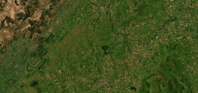
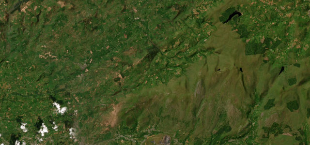
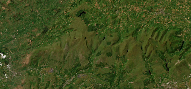
Abergwesyn Pass
DirectionsGet the app