Wales · United Kingdom
Upper Swansea Valley
A4067Pen Rhos to Sennybridge
A river-and-waterfall road up into the Fforest Fawr geopark.
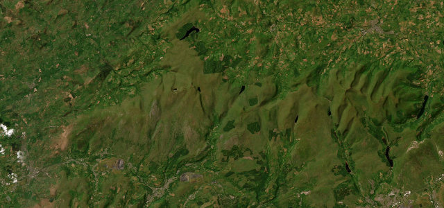
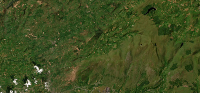
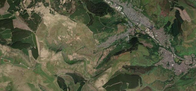
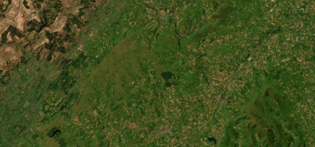
The A4067 runs up the Tawe valley from Ystradgynlais towards Sennybridge, through the waterfall country of Fforest Fawr past Craig-y-nos. It is a flowing valley road that climbs onto open moor at the top; mind the villages, the cyclists and the cavers' parked cars near Dan-yr-Ogof.
Where it runs16.4 mi · point to point
Pen RhosStart · Wales
SennybridgeEnd · Wales
Navigate to the start: Apple Maps · Google Maps
Character
Corners24bends
Tightness4of 10
Max gradient7%≈ 1-in-14
Climb361 mtotal ascent
Summit392.8 mhighest point of the line · 1,289 ft
Corners
busiest around mile 3Elevation
under 4%4–8%over 8%93.6 – 392.8 mPoints of interest1 stop
- Twyn y GaerViewpoint15 mi in
Hazards
- Villages with low limits
- Cyclists
- Parked cars at the show caves
Sources
“the road begins to climb, quite steeply, out of the Tawe valley and into the mountains of the Brecon Beacons National Park”
Verified route: mapped from real road geometry and fact-checked by a human editor. How roads get checked
Driving the Upper Swansea Valley: quick answers
How long does it take to drive the Upper Swansea Valley?
Upper Swansea Valley runs 16.4 miles (26 km) and takes about 31 min to drive without stops.
How difficult is the Upper Swansea Valley to drive?
We rate it moderate: 24 corners, a maximum gradient of 7%, and a tightness of 4 out of 10.
When is the best time to drive the Upper Swansea Valley?
Spring and Summer and Autumn are best.
Nearby roads
The closest great drives to Upper Swansea Valley.
Upper Swansea Valley
DirectionsGet the app