Wales · United Kingdom
Bwlch Mountain Road
A4061Cwm Parc to Nant-y-moel
A hairpin mountain road high above the Rhondda valleys.
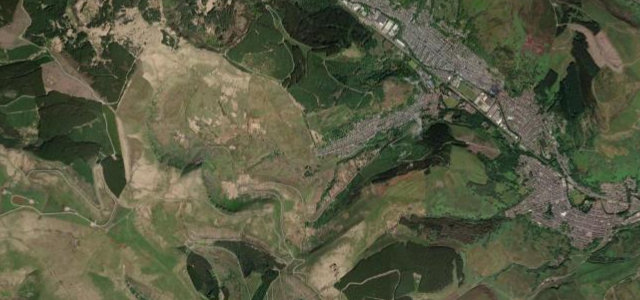
The A4061 climbs over the Bwlch high above the Rhondda, a dramatic set of hairpins and ridge-top straights with vast views over the South Wales valleys. A local favourite; mind the tight bends, sheep, motorbikes, and weather over the top.
Ridge-top hairpins high above the Rhondda, a south Wales secret that drives every bit as well as it looks.
Why we picked it
Scenery
MountainMoorland
Best seasons
SpringSummerAutumn
In these collections
In these Grand Tours
Where it runs4.7 mi · point to point
Cwm ParcStart · Wales
Nant-y-moelEnd · Wales
Navigate to the start: Apple Maps · Google Maps
Character
Corners36bends
Tightness7of 10
Max gradient11%≈ 1-in-9
Hairpins1tight bends
Climb281 mtotal ascent
Summit444.1 mhighest point of the line · 1,457 ft
Corners
busiest around mile 1Elevation
under 4%4–8%over 8%167.1 – 444.1 mPoints of interest2 stops
- Bwlch MountainViewpoint3.8 mi in
- Braich-Yr-HyddViewpoint4.7 mi in
Hazards
- Tight hairpins
- Sheep on the open road
- Motorbikes and weather over the top
Sources
“Bwlch Mountain is South Wales in a nutshell – stunning vistas, fast climbs, deep valleys and a network of roads complete with sweeping hairpins to rival a Japanese touge.”
Verified route: mapped from real road geometry and fact-checked by a human editor. How roads get checked
Driving the Bwlch Mountain Road: quick answers
How long does it take to drive the Bwlch Mountain Road?
Bwlch Mountain Road runs 4.7 miles (7.6 km) and takes about 10 min to drive without stops.
How difficult is the Bwlch Mountain Road to drive?
We rate it demanding: 36 corners including 1 hairpins, a maximum gradient of 11%, and a tightness of 7 out of 10.
When is the best time to drive the Bwlch Mountain Road?
Spring and Summer and Autumn are best.
Nearby roads
The closest great drives to Bwlch Mountain Road.
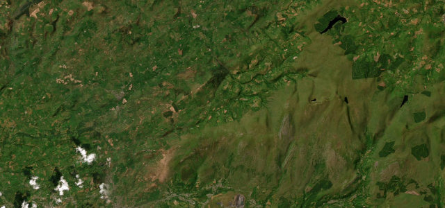
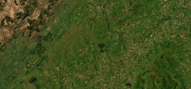
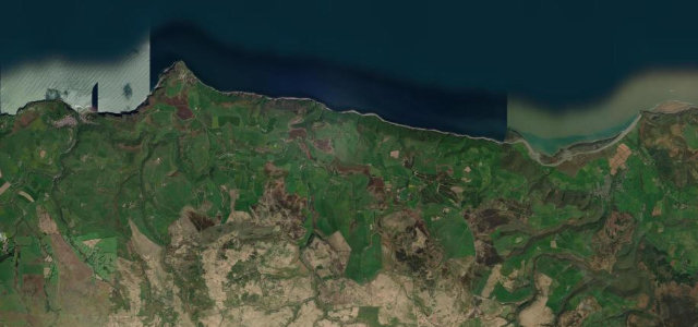
Bwlch Mountain Road
DirectionsGet the app