Wales · United Kingdom
Brecon Beacons Pass
A470Libanus to Trefechan
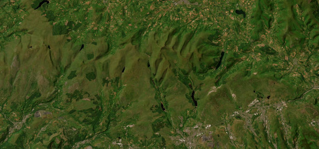
The high pass past the Storey Arms beneath Pen y Fan.
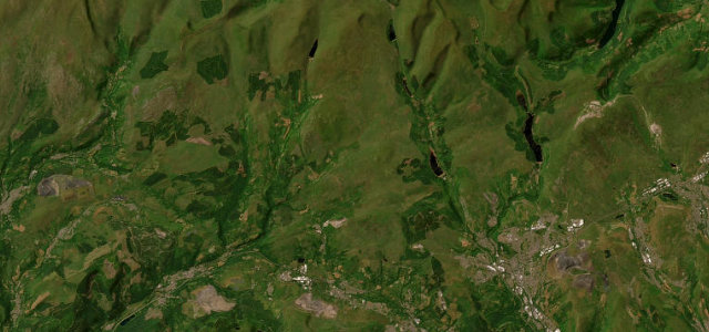
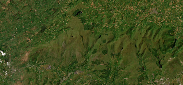
The A470 climbs over the central Brecon Beacons past the Storey Arms, beneath Pen y Fan and Corn Du, between Brecon and Merthyr. It is a fast, sweeping road across open mountain; watch for walkers crossing to the peaks, sheep on the carriageway and quick changes in the weather.
Scenery
MountainMoorland
Best seasons
SpringSummerAutumn
In these collections
In these Grand Tours
Where it runs14.6 mi · point to point
LibanusStart · Wales
TrefechanEnd · Wales
Navigate to the start: Apple Maps · Google Maps
Character
Corners22bends
Tightness4of 10
Max gradient8%≈ 1-in-13
Climb307 mtotal ascent
Summit444 mhighest point of the line · 1,457 ft
Corners
busiest around mile 1Elevation
under 4%4–8%over 8%200 – 444 mPoints of interest2 stops
- Vaynor and Cefn Coed War MemorialLandmark14 mi in
- Cefn Cil-SanwsViewpoint12 mi in
Hazards
- Walkers crossing to the peaks
- Sheep on the road
- Fast-changing weather
Sources
“A twisting section alongside the Taf Fawr reservoirs of Llwyn-on, Cantref and Beacons takes the road to its highest point at Storey Arms on the pass over the Brecon Beacons before a long descent to Brecon.”
Verified route: mapped from real road geometry and fact-checked by a human editor. How roads get checked
Driving the Brecon Beacons Pass: quick answers
How long does it take to drive the Brecon Beacons Pass?
Brecon Beacons Pass runs 14.6 miles (23 km) and takes about 28 min to drive without stops.
How difficult is the Brecon Beacons Pass to drive?
We rate it moderate: 22 corners, a maximum gradient of 8%, and a tightness of 4 out of 10.
When is the best time to drive the Brecon Beacons Pass?
Spring and Summer and Autumn are best.
Nearby roads
The closest great drives to Brecon Beacons Pass.
Brecon Beacons Pass
DirectionsGet the app