Wales · United Kingdom
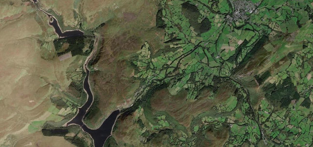
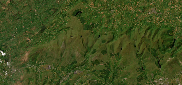
Mynydd Epynt
B4520Llanelwedd to Brecon
The lonely 'Beacons road' high over Mynydd Epynt.
The B4520 climbs out of Builth Wells onto Mynydd Epynt, a vast, empty plateau of moorland used by the army, before dropping to Brecon. One of Wales’s great undiscovered roads: fast, sweeping and utterly exposed. Heed the red flags and range signs, watch for sudden hill mist and sheep, and remember there’s no fuel or support for miles over the top.
Where it runs16.4 mi · point to point
LlanelweddStart · Wales
BreconEnd · Wales
Navigate to the start: Apple Maps · Google Maps
Character
Corners28bends
Tightness5of 10
Max gradient9%≈ 1-in-11
Climb372 mtotal ascent
Summit420.9 mhighest point of the line · 1,381 ft
Corners
busiest around mile 16Elevation
under 4%4–8%over 8%133.8 – 420.9 mPoints of interest1 stop
- Duke of WellingtonLandmark16 mi in
Hazards
- Military firing ranges, heed red flags
- Sudden hill mist
- No fuel or support for miles
Sources
“you're stringing together sweeping turns across the undulating moorland terrain”
Verified route: mapped from real road geometry and fact-checked by a human editor. How roads get checked
Driving the Mynydd Epynt: quick answers
How long does it take to drive the Mynydd Epynt?
Mynydd Epynt runs 16.4 miles (26 km) and takes about 33 min to drive without stops.
How difficult is the Mynydd Epynt to drive?
We rate it demanding: 28 corners, a maximum gradient of 9%, and a tightness of 5 out of 10.
When is the best time to drive the Mynydd Epynt?
Spring and Summer and Autumn are best.
Nearby roads
The closest great drives to Mynydd Epynt.
Mynydd Epynt
DirectionsGet the app