England · United Kingdom
Porlock Hill
A39Bossington to North Devon
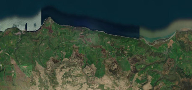
One of the steepest A-roads in England, climbing from the Somerset coast onto Exmoor in tight hairpins.
The A39 up Porlock Hill is among the steepest main roads in the country, climbing from the Somerset coast up onto Exmoor in a series of 1-in-4 hairpins. Use a low gear, mind the brakes on the descent, and consider the gentler toll road if you’re unsure.
Scenery
CoastMoorland
Best seasons
SpringSummerAutumn
In these collections
In these guides
Where it runs11.7 mi · point to point
BossingtonStart · England
North DevonEnd · England
Navigate to the start: Apple Maps · Google Maps
Character
Corners18bends
Tightness8of 10
Max gradient25%≈ 1-in-4
Climb427 mtotal ascent
Summit419.7 mhighest point of the line · 1,377 ft
Steeper than 9 in 10 roads here in the catalogue.
Corners
busiest around mile 1Elevation
under 4%4–8%over 8%8.4 – 419.7 mPoints of interest1 stop
- Wind HillViewpoint11 mi in
Hazards
- Severe 1-in-4 hairpins
- Brake fade on descent
- Not for large vehicles
Sources
“One of the steepest roads in the country, it snakes quickly up on to Exmoor in a series of hairpins.”
Verified route: mapped from real road geometry and fact-checked by a human editor. How roads get checked
Driving the Porlock Hill: quick answers
How long does it take to drive the Porlock Hill?
Porlock Hill runs 11.7 miles (19 km) and takes about 27 min to drive without stops.
How difficult is the Porlock Hill to drive?
We rate it demanding: 18 corners, a maximum gradient of 25%, and a tightness of 8 out of 10.
When is the best time to drive the Porlock Hill?
Spring and Summer and Autumn are best.
Nearby roads
The closest great drives to Porlock Hill.
Porlock Hill
DirectionsGet the app