England · United Kingdom
Dunkery Hill
Wheddon Cross to Luccombe
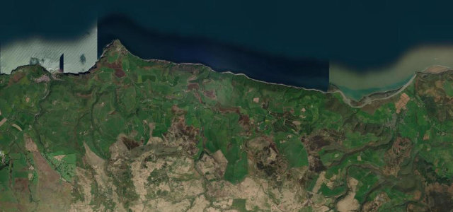
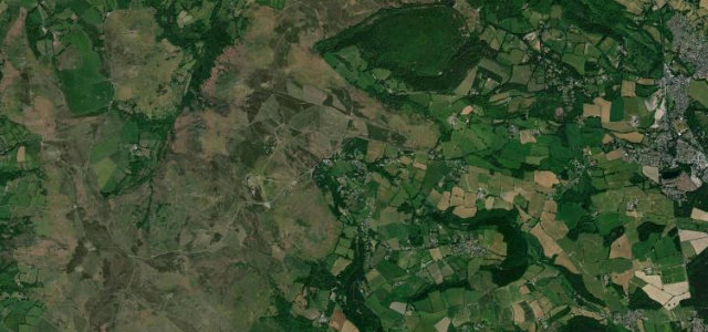
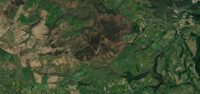
Over the shoulder of Dunkery Beacon, Exmoor’s 519-metre high point, where the heather turns deep purple in late summer and the view runs across the Bristol Channel to Wales.
This narrow road climbs from Wheddon Cross over the shoulder of Dunkery Beacon, the highest point on Exmoor at 519 metres, toward Porlock. The heather moorland turns deep purple in late summer and the summit gives long views to the Bristol Channel and Wales. Mind the Exmoor ponies and sheep on the open moor, cattle grids and steep descents toward Porlock.
Scenery
Best seasons
In these collections
In these guides
Where it runs5.3 mi · point to point
Navigate to the start: Apple Maps · Google Maps
Character
Corners
busiest around mile 1Elevation
under 4%4–8%over 8%205.7 – 448.7 mPoints of interest2 stops
- Dunkery HillViewpoint3.1 mi in
- Jubilee HutViewpoint4.1 mi in
Hazards
- Exmoor ponies and sheep on moor
- Cattle grids
- Steep descents toward Porlock
Sources
“Towards the end, the climb gets even steeper – 17% for a considerable length of time.”
Verified route: mapped from real road geometry and fact-checked by a human editor. How roads get checked
Driving the Dunkery Hill: quick answers
How long does it take to drive the Dunkery Hill?
How difficult is the Dunkery Hill to drive?
When is the best time to drive the Dunkery Hill?
Nearby roads
The closest great drives to Dunkery Hill.