England · United Kingdom
Cheddar Gorge
B3135Cheddar to Charterhouse
Britain’s grandest limestone gorge, the B3135 winding beneath 137-metre cliffs.
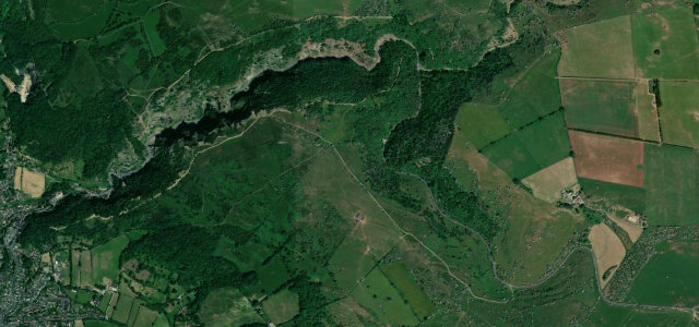
The B3135 threads the floor of Cheddar Gorge, where weathered limestone walls rise sheer on either side, one of the deepest gorges in Britain. It is a short, theatrical drive, climbing in tight curves from the village onto the Mendip plateau. Pedestrians, cyclists and the famous wild goats share the narrow road, and rockfall is a genuine hazard, so keep it slow and look up often.
Britain’s biggest gorge, the cliffs rising sheer on either side. Short, sharp and spectacular.
Why we picked it
Scenery
Best seasons
In these collections
In these guides
Where it runs2.5 mi · point to point
Navigate to the start: Apple Maps · Google Maps
Character
Corners
busiest around mile 1Elevation
under 4%4–8%over 8%33.3 – 218.4 mPoints of interest3 stops
- Cheddar Gorge viewpointLimestone cliffs rising some 137 metres.2.5 mi in
- Castle RockViewpoint0.5 mi in
- Cheddar Gorge & CavesLandmarkat the start
Hazards
- Rockfall area
- Narrow through the cliffs
- Pedestrians, cyclists and wild goats
Sources
“The first section is the most demanding but offers stunning scenery, with cliff faces rising on either side of the road and twists and turns aplenty due to the gorge dictating the route.”
Verified route: mapped from real road geometry and fact-checked by a human editor. How roads get checked
Driving the Cheddar Gorge: quick answers
How long does it take to drive the Cheddar Gorge?
How difficult is the Cheddar Gorge to drive?
When is the best time to drive the Cheddar Gorge?
Nearby roads
The closest great drives to Cheddar Gorge.