North Somerset · United Kingdom
Burrington Combe
B3134Burrington to East Harptree
A limestone gorge ramp through the Mendips, Cheddar’s quieter northern twin.
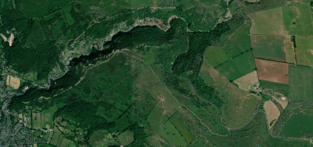
Burrington Combe is a short carboniferous-limestone gorge on the north side of the Mendip Hills, the B3134 threading between cliffs past the famous Rock of Ages cleft before climbing onto Black Down and the open top. It is less dramatic than Cheddar a few miles south, but the lower combe section is genuinely steep-walled and the moorland run-out gives wide views over the Bristol Channel. Traffic is light midweek and the surface is reasonable. Mind cyclists and walkers near the Rock of Ages pull-in, gravel washed onto the road after rain, and slow sightseeing cars in the narrow combe.
Scenery
Best seasons
In these collections
Where it runs3.7 mi · point to point
Navigate to the start: Apple Maps · Google Maps
Character
Corners
busiest around mile 1Elevation
under 4%4–8%over 8%62.8 – 276.7 mPoints of interest2 stops
- Rock of AgesLandmark0.5 mi in
- Wireless StationViewpoint2.8 mi in
Hazards
- Walkers at Rock of Ages
- Post-rain gravel wash
- Slow sightseeing traffic
- Cyclists near the Rock of Ages pull-in
Sources
“A deep limestone gorge honeycombed with caves and underground streams, Burrington Combe is a welcome, low-key alternative to its more famous neighbour, Cheddar Gorge.”
Verified route: mapped from real road geometry and fact-checked by a human editor. How roads get checked
Driving the Burrington Combe: quick answers
How long does it take to drive the Burrington Combe?
How difficult is the Burrington Combe to drive?
When is the best time to drive the Burrington Combe?
Nearby roads
The closest great drives to Burrington Combe.