Wales · United Kingdom
Tywyn Coast Road
A493Llanelltyd to Tywyn
A coast-and-estuary run beneath Cadair Idris in southern Eryri.
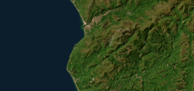
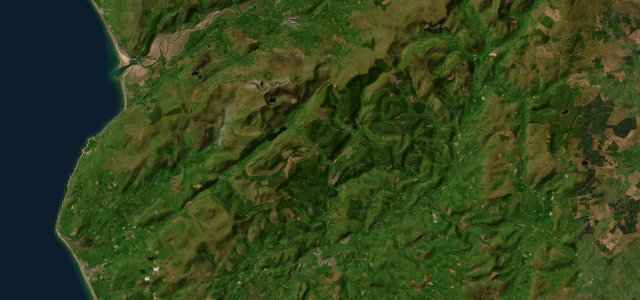
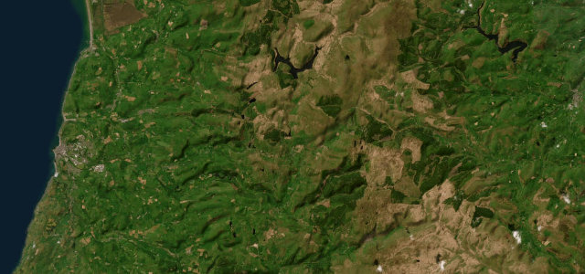
The A493 runs from Dolgellau along the Mawddach estuary and down the Cardigan Bay coast to Tywyn, beneath the southern slopes of Cadair Idris. It mixes estuary, mountain and sea; take care on the narrow shoreline sections and through the small towns.
Scenery
CoastMountain
Best seasons
SpringSummerAutumn
In these collections
In these guides
Where it runs19.2 mi · point to point
LlanelltydStart · Wales
TywynEnd · Wales
Navigate to the start: Apple Maps · Google Maps
Character
Corners24bends
Tightness5of 10
Max gradient8%≈ 1-in-13
Climb275 mtotal ascent
Summit73.9 mhighest point of the line · 242 ft
Corners
busiest around mile 19Elevation
under 4%4–8%over 8%2.3 – 73.9 mPoints of interest3 stops
- Boer War MemorialLandmark19 mi in
- Dragon StoneLandmark18 mi in
- Pen Erw-GoedViewpoint3.4 mi in
Hazards
- Narrow shoreline sections
- Tourist traffic
- Coastal weather
Sources
“the Mawddach Estuary ('the loveliest in Wales') reveals jaw-dropping vistas as it winds its way towards the sea at Barmouth”
Verified route: mapped from real road geometry and fact-checked by a human editor. How roads get checked
Driving the Tywyn Coast Road: quick answers
How long does it take to drive the Tywyn Coast Road?
Tywyn Coast Road runs 19.2 miles (31 km) and takes about 38 min to drive without stops.
How difficult is the Tywyn Coast Road to drive?
We rate it moderate: 24 corners, a maximum gradient of 8%, and a tightness of 5 out of 10.
When is the best time to drive the Tywyn Coast Road?
Spring and Summer and Autumn are best.
Nearby roads
The closest great drives to Tywyn Coast Road.
Tywyn Coast Road
DirectionsGet the app