Wales · United Kingdom
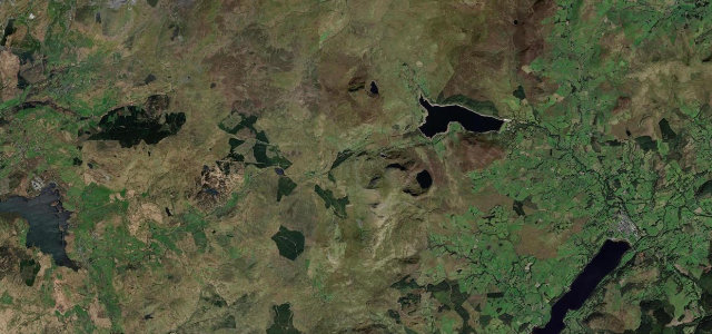
Nant Gwynant
A498Nantmor to Pen-y-Gwryd
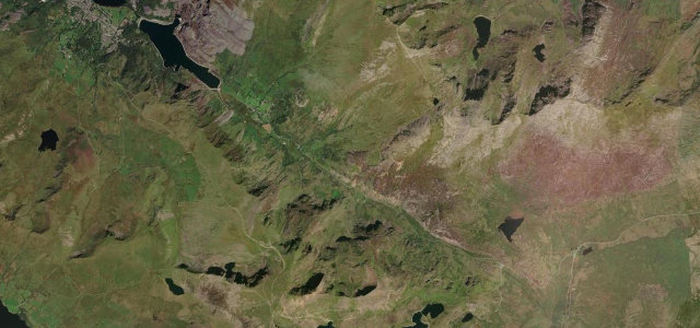
The A498 follows Nant Gwynant from Beddgelert up to Pen-y-Gwryd, 7.1 miles of narrow valley road through Eryri with parked cars and walkers at the trailheads.
The A498 follows Nant Gwynant past its lakes with Snowdon’s southern flanks rising above, one of Eryri’s most beautiful drives. It is narrow with walkers and parked cars at the trailheads, so take it slowly and let the views come to you.
If this were in the Alps you’d never hear the end of it. Instead it sits quietly in Wales, which somehow makes us love it more.
Why we picked it
Scenery
Best seasons
In these collections
In these Grand Tours
In these guides
Where it runs7.1 mi · point to point
Navigate to the start: Apple Maps · Google Maps
Character
Corners
busiest around mile 1Elevation
under 4%4–8%over 8%42.5 – 247.7 mPoints of interest3 stops
- Eagles RockViewpoint3.2 mi in
- Inn of the Sixth HappinessLandmarkat the start
- Dinas EmrysViewpoint1.4 mi in
Hazards
- Narrow with rock faces
- Walkers and parked cars
- Loose stone after rain
Sources
“Turn left at Beddgelert onto the A498 for more dramatic views of the jagged and triangular summit.”
Verified route: mapped from real road geometry and fact-checked by a human editor. How roads get checked
Driving the Nant Gwynant: quick answers
How long does it take to drive the Nant Gwynant?
How difficult is the Nant Gwynant to drive?
When is the best time to drive the Nant Gwynant?
Nearby roads
The closest great drives to Nant Gwynant.