Northern Ireland · United Kingdom
Spelga & the Mournes
B27Hilltown to Kilkeel
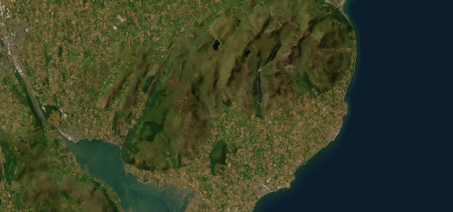
A wild mountain road over the Spelga Pass in the Mournes.
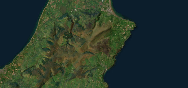
The B27 climbs from Hilltown over the Spelga Pass and down to Kilkeel, threading the heart of the Mourne Mountains past the reservoir. It is an open, exposed road with long views and sweeping bends; watch for sheep, weather coming in off the sea, and walkers heading for Slieve Muck.
Where it runs10.7 mi · point to point
HilltownStart · Northern Ireland
KilkeelEnd · Northern Ireland
Navigate to the start: Apple Maps · Google Maps
Character
Corners24bends
Tightness5of 10
Max gradient9%≈ 1-in-11
Descent370 mtotal descent
Summit391 mhighest point of the line · 1,283 ft
Corners
busiest around mile 1Elevation
under 4%4–8%over 8%21 – 391 mPoints of interest3 stops
- SpelgaViewpoint1.2 mi in
- SlievenamiskanViewpoint1.4 mi in
- Pigeon Rock Mountain South TopViewpoint3.8 mi in
Hazards
- Exposed mountain weather
- Sheep on the road
- Walkers near the reservoir
Sources
“superb driving roads, spellbinding scenery and, if you get your timing right, peace and solitude”
Verified route: mapped from real road geometry and fact-checked by a human editor. How roads get checked
Driving the Spelga & the Mournes: quick answers
How long does it take to drive the Spelga & the Mournes?
Spelga & the Mournes runs 10.7 miles (17 km) and takes about 21 min to drive without stops.
How difficult is the Spelga & the Mournes to drive?
We rate it moderate: 24 corners, a maximum gradient of 9%, and a tightness of 5 out of 10.
When is the best time to drive the Spelga & the Mournes?
Spring and Summer and Autumn are best.
Nearby roads
The closest great drives to Spelga & the Mournes.
Spelga & the Mournes
DirectionsGet the app