County Antrim · United Kingdom
Glenariff, Queen of the Glens
A43Waterfoot to Glenariff
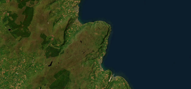
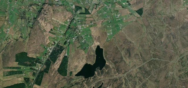
The A43 up the glacial Glenariff valley, Thackeray’s 'Switzerland in miniature'.
The A43 runs up Glenariff from the coast at Waterfoot through the U-shaped glacial valley that Thackeray dubbed 'Switzerland in miniature', the grandest of the nine Glens of Antrim with waterfalls feeding the river along the floor. It is a steady scenic climb onto open moorland rather than a technical road, but the glen itself is the spectacle, and it pairs naturally with the Causeway Coast. Mind farm traffic and slow sightseers in the lower glen, sudden moorland weather on the top, and forest-park visitor congestion in summer.
Where it runs8.1 mi · point to point
Navigate to the start: Apple Maps · Google Maps
Character
Corners
busiest around mile 4Elevation
under 4%4–8%over 8%11.5 – 289.2 mPoints of interest2 stops
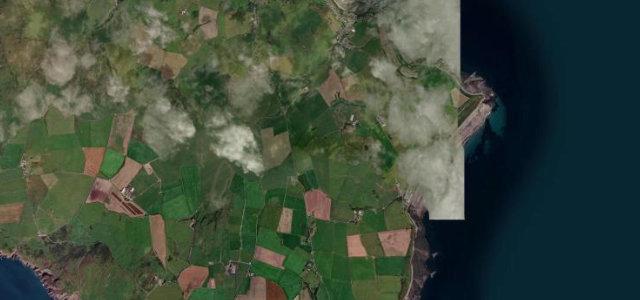
- Glenariff Forest ParkLandmark4.6 mi in
- Ess-na-Larach WaterfallLandmark3.7 mi in
Hazards
- Slow farm and sightseeing traffic
- Sudden moorland weather
- Forest-park congestion
Sources
“The Glens of Antrim, of which we have journeyed over but a few, are superb motoring roads well worth exploring and discovering for yourself.”
Verified route: mapped from real road geometry and fact-checked by a human editor. How roads get checked
Driving the Glenariff, Queen of the Glens: quick answers
How long does it take to drive the Glenariff, Queen of the Glens?
How difficult is the Glenariff, Queen of the Glens to drive?
When is the best time to drive the Glenariff, Queen of the Glens?
Nearby roads
The closest great drives to Glenariff, Queen of the Glens.