County Antrim · United Kingdom
Causeway Coastal Route
A2Larne to Ballycastle
One of the world’s great coast roads, tracing the Glens of Antrim toward the Giant’s Causeway.
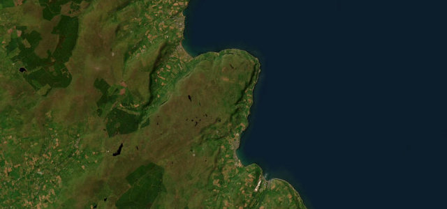
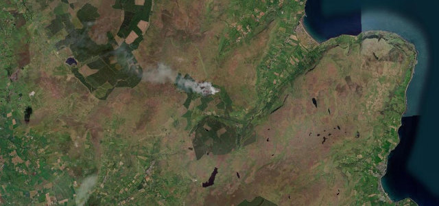
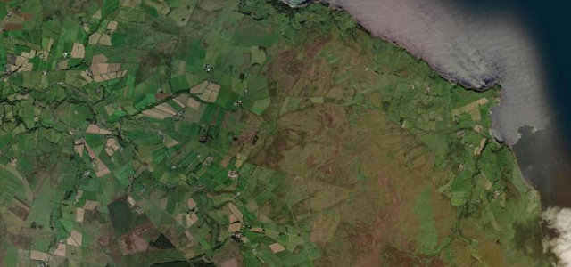
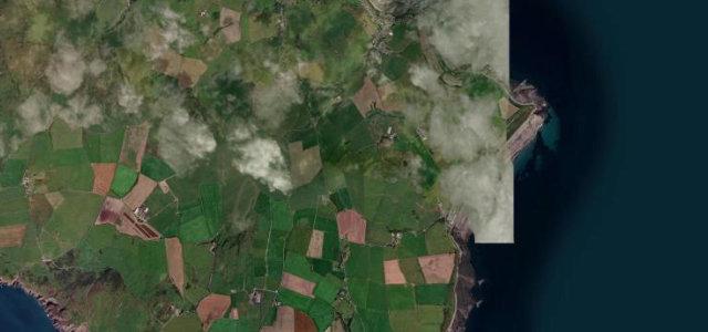
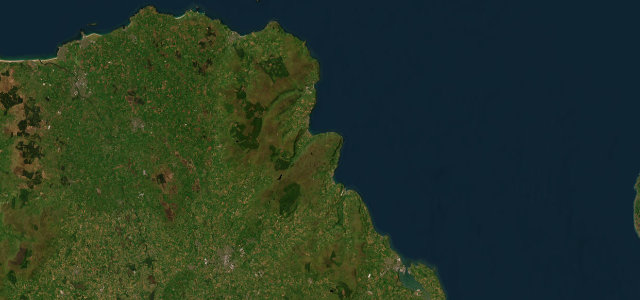
The A2 Causeway Coastal Route hugs the Antrim coastline from Larne north toward Ballycastle and the Giant’s Causeway, slipping between the sea and the nine Glens of Antrim. It is a road of villages, bays and headlands rather than a technical challenge, best taken gently, with frequent stops. Expect cyclists, tourist traffic and weather blowing straight off the North Channel.
Cliffs, castles and the Giant’s Causeway on a single road. Northern Ireland at its most cinematic.
Why we picked it
Scenery
Best seasons
In these collections
In these guides
Where it runs39.4 mi · point to point
Navigate to the start: Apple Maps · Google Maps
Character
Corners
busiest around mile 23Elevation
under 4%4–8%over 8%2.6 – 262.1 mPoints of interest2 stops
- The Glens of AntrimNine glens meet the sea along this coast.24 mi in
- Watertop WaterfallViewpoint34 mi in
Hazards
- Winding coastal road
- Cyclists and tourist traffic
- Weather off the sea
Sources
“one of Europe's most beautiful road journeys”
Verified route: mapped from real road geometry and fact-checked by a human editor. How roads get checked
Driving the Causeway Coastal Route: quick answers
How long does it take to drive the Causeway Coastal Route?
How difficult is the Causeway Coastal Route to drive?
When is the best time to drive the Causeway Coastal Route?
Nearby roads
The closest great drives to Causeway Coastal Route.