County Antrim · United Kingdom
Torr Head Scenic Road
C82Cushendun to Torr Head
A narrow clifftop alternative to the Causeway Coast, with Scotland in view.
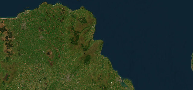
Torr Road is the wild alternative to the main Causeway Coastal Route between Cushendun and Ballycastle, clinging to the clifftops high above the sea past Torr Head, the closest point in Ireland to Scotland with the Mull of Kintyre on the horizon. It is steep, narrow and tightly twisting in places, a proper test rather than a relaxed coast cruise. Mind extremely narrow single-track with sharp blind crests, steep gradients dropping toward the sea, and oncoming traffic with few passing places.
Scenery
Best seasons
In these collections
In these guides
Where it runs5.1 mi · point to point
Navigate to the start: Apple Maps · Google Maps
Character
Steeper than 9 in 10 roads here in the catalogue.
Corners
busiest around mile 5Elevation
under 4%4–8%over 8%85.3 – 260.9 mPoints of interest1 stop
- GreenanmoreViewpoint2.9 mi in
Hazards
- Very narrow single-track
- Blind crests above the sea
- Scarce passing places
- Steep gradients toward the sea
Sources
“spectacular views over Torr Head and across to the Mull of Kintyre, Scotland”
Verified route: mapped from real road geometry and fact-checked by a human editor. How roads get checked
Driving the Torr Head Scenic Road: quick answers
How long does it take to drive the Torr Head Scenic Road?
How difficult is the Torr Head Scenic Road to drive?
When is the best time to drive the Torr Head Scenic Road?
Nearby roads
The closest great drives to Torr Head Scenic Road.