Dumfries and Galloway · United Kingdom
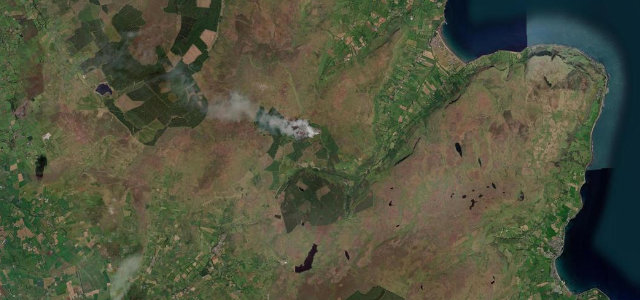
Mull of Galloway
B7041Drummore to Mull of Galloway
Single-track run down the Rhinns from Drummore toward Scotland’s most southerly point.
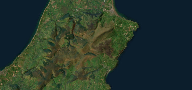
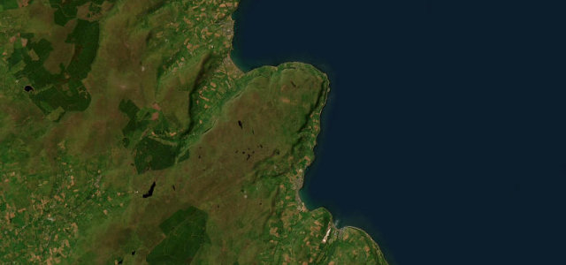
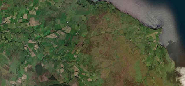
The B7041 drops south from Drummore down the narrowing tail of the Rhinns of Galloway toward the Mull of Galloway, Scotland’s most southerly point, crowned by its Stevenson lighthouse and RSPB reserve. The road is a quiet single-track ribbon with passing places, sea on both sides as the peninsula pinches in, and big views to the Isle of Man, Ireland and the Lakeland fells on a clear day. It is gentle, scenic driving rather than a technical challenge, finishing where the B-road gives way to the lane out to the headland. Mind single-track passing-place etiquette, blind summits over the dunes, and strong crosswinds near the exposed tip.
Scenery
Best seasons
In these collections
In these guides
Where it runs2.2 mi · point to point
Navigate to the start: Apple Maps · Google Maps
Character
Corners
busiest around mile 1Elevation
under 4%4–8%over 8%25.7 – 111.5 mPoints of interest2 stops
- High Drummore MotteLandmark0.7 mi in
- Kildonan HillViewpointat the start
Hazards
- Single-track passing places
- Blind summits over dunes
- Strong coastal crosswinds
Sources
“The drive from Stranraer is stunning and will take around 40 minutes.”
Verified route: mapped from real road geometry and fact-checked by a human editor. How roads get checked
Driving the Mull of Galloway: quick answers
How long does it take to drive the Mull of Galloway?
How difficult is the Mull of Galloway to drive?
When is the best time to drive the Mull of Galloway?
Nearby roads
The closest great drives to Mull of Galloway.