Scotland · United Kingdom
The Queen's Way
A712New Galloway to Minnigaff
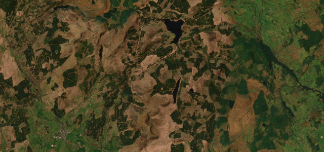
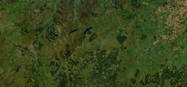
A forest and moorland run through the Galloway Dark Sky Park.
The A712 Queen’s Way crosses the Galloway Forest between New Galloway and Newton Stewart, through some of the darkest skies in Britain past Clatteringshaws Loch. It is a quiet, flowing road with deer and forestry traffic; a fine evening drive.
Where it runs16.4 mi · point to point
New GallowayStart · Scotland
MinnigaffEnd · Scotland
Navigate to the start: Apple Maps · Google Maps
Character
Corners24bends
Tightness4of 10
Max gradient8%≈ 1-in-13
Descent326 mtotal descent
Summit211.6 mhighest point of the line · 694 ft
Corners
busiest around mile 14Elevation
under 4%4–8%over 8%16.1 – 211.6 mPoints of interest3 stops
- Glen of the BarViewpoint11 mi in
- John McDonald MemorialLandmark8.0 mi in
- Buck LoupLandmark10 mi in
Hazards
- Deer on the road
- Forestry traffic
- Remote, limited signal
Sources
“the sense of twisting and turning along the tightening valley makes it a total delight to drive”
Verified route: mapped from real road geometry and fact-checked by a human editor. How roads get checked
Driving the Queen's Way: quick answers
How long does it take to drive the Queen's Way?
The Queen’s Way runs 16.4 miles (26 km) and takes about 31 min to drive without stops.
How difficult is the Queen's Way to drive?
We rate it moderate: 24 corners, a maximum gradient of 8%, and a tightness of 4 out of 10.
When is the best time to drive the Queen's Way?
Spring and Summer and Autumn are best.
Nearby roads
The closest great drives to The Queen's Way.
The Queen's Way
DirectionsGet the app