Scotland · United Kingdom
Grey Mare's Tail & St Mary's Loch
A708Moffat to Selkirk
A wild Borders road past a hanging waterfall and a lonely loch.
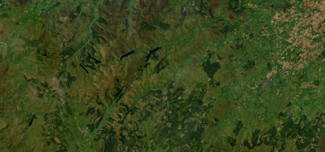
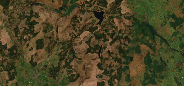
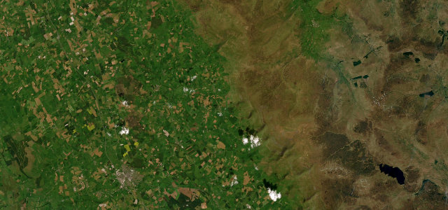
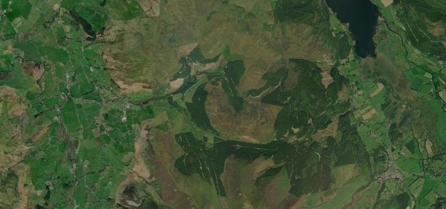
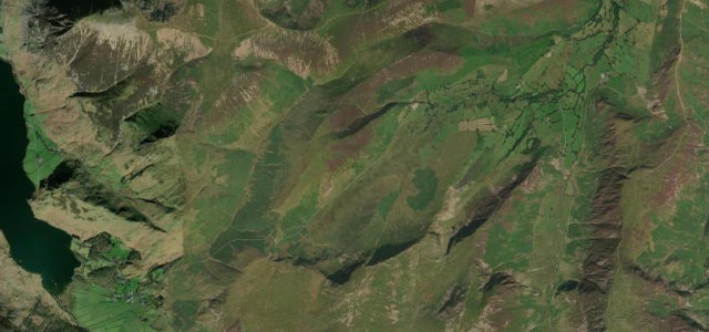
The A708 runs from Moffat over the hills past the Grey Mare’s Tail waterfall and along the shore of St Mary’s Loch towards Selkirk, one of the finest roads in the Southern Uplands. It is narrow and exposed in places with sweeping bends; watch for sheep, walkers at the falls and weather over the tops.
Where it runs33.4 mi · point to point
MoffatStart · Scotland
SelkirkEnd · Scotland
Navigate to the start: Apple Maps · Google Maps
Character
Corners34bends
Tightness5of 10
Max gradient9%≈ 1-in-11
Climb455 mtotal ascent
Summit338.3 mhighest point of the line · 1,110 ft
Corners
busiest around mile 2Elevation
under 4%4–8%over 8%113.3 – 338.3 mFrom the road
Points of interest2 stops
- Scott Campbell MemorialLandmark15 mi in
- Battle of Philiphaugh MemorialLandmark33 mi in
Hazards
- Exposed moorland weather
- Sheep on the road
- Walkers at the falls
Sources
“The Scottish Borders is frequently forgotten when debating Britain's best driving roads, but the A708 has to rank among one of the most testing stretches of Tarmac anywhere in the UK”
Verified route: mapped from real road geometry and fact-checked by a human editor. How roads get checked
Driving the Grey Mare's Tail & St Mary's Loch: quick answers
How long does it take to drive the Grey Mare's Tail & St Mary's Loch?
Grey Mare’s Tail & St Mary’s Loch runs 33.4 miles (54 km) and takes about 1 h 7 min to drive without stops.
How difficult is the Grey Mare's Tail & St Mary's Loch to drive?
We rate it moderate: 34 corners, a maximum gradient of 9%, and a tightness of 5 out of 10.
When is the best time to drive the Grey Mare's Tail & St Mary's Loch?
Spring and Summer and Autumn are best.
Nearby roads
The closest great drives to Grey Mare's Tail & St Mary's Loch.
Grey Mare's Tail & St Mary's Loch
DirectionsGet the app