Scotland · United Kingdom
Carter Bar
A68Jedburgh to Scottish Borders
A sweeping climb to the dramatic England–Scotland border ridge.
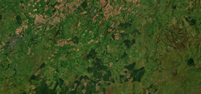
The A68 climbs from Jedburgh to the windswept saddle of Carter Bar, the border crossing into Northumberland with the Cheviots spread out below. It is fast and open with long gradients and exposed summits; watch for sudden weather and tourist coaches stopped at the border.
Where it runs10.0 mi · point to point
JedburghStart · Scotland
Scottish BordersEnd · Scotland
Navigate to the start: Apple Maps · Google Maps
Character
Corners22bends
Tightness4of 10
Max gradient9%≈ 1-in-11
Climb338 mtotal ascent
Summit370.9 mhighest point of the line · 1,217 ft
Corners
busiest around mile 9Elevation
under 4%4–8%over 8%78 – 370.9 mFrom the road
Points of interest2 stops
- Allerley Well Park GatepiersLandmark0.4 mi in
- Capon TreeLandmark1.2 mi in
Hazards
- Exposed border summit, wind and ice
- Fast gradients
- Coaches stopped at the border
Sources
“the descent into Scotland is characterised by three, 180º hairpin bends, while the eventual, sudden arrival at Jedburgh (with its magnificent abbey visible from the road) is the perfect way to properly kick off a Scotland tour”
Verified route: mapped from real road geometry and fact-checked by a human editor. How roads get checked
Driving the Carter Bar: quick answers
How long does it take to drive the Carter Bar?
Carter Bar runs 10.0 miles (16 km) and takes about 19 min to drive without stops.
How difficult is the Carter Bar to drive?
We rate it moderate: 22 corners, a maximum gradient of 9%, and a tightness of 4 out of 10.
When is the best time to drive the Carter Bar?
Spring and Summer and Autumn are best.
Nearby roads
The closest great drives to Carter Bar.
Carter Bar
DirectionsGet the app