England · United Kingdom
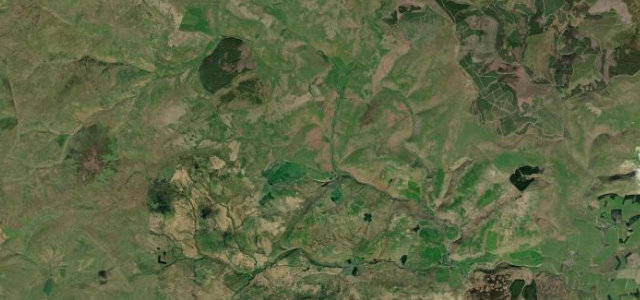
Upper Coquetdale
Alwinton to Chew Green
Remote dead-end valley road in the Cheviots.
This minor road follows the River Coquet upstream from Alwinton deep into the Cheviot Hills toward the Scottish border. It winds past hay meadows, rocky outcrops and remote farmsteads through the Northumberland National Park before ending near the military ranges at Chew Green. Mind the live-firing range restrictions, fords after rain and the sparse phone reception.
Where it runs9.7 mi · point to point
AlwintonStart · England
Chew GreenEnd · England
Navigate to the start: Apple Maps · Google Maps
Character
Corners42bends
Tightness6of 10
Max gradient14%≈ 1-in-7
Climb259 mtotal ascent
Summit371 mhighest point of the line · 1,217 ft
Corners
busiest around mile 1Elevation
under 4%4–8%over 8%181.9 – 371 mPoints of interest2 stops
- old Linbrig VillageLandmark1.7 mi in
- Barrow LawViewpoint5.8 mi in
Hazards
- Otterburn firing range closures
- Fords liable to flood
- No phone signal in upper valley
See the typical season and live conditions for the high passes ›
Sources
“Remote and with wild scenery this is an area not to be missed.”
Verified route: mapped from real road geometry and fact-checked by a human editor. How roads get checked
Driving the Upper Coquetdale: quick answers
How long does it take to drive the Upper Coquetdale?
Upper Coquetdale runs 9.7 miles (15.6 km) and takes about 20 min to drive without stops.
How difficult is the Upper Coquetdale to drive?
We rate it moderate: 42 corners, a maximum gradient of 14%, and a tightness of 6 out of 10.
When is the best time to drive the Upper Coquetdale?
Spring and Summer and Autumn are best.
Nearby roads
The closest great drives to Upper Coquetdale.
Upper Coquetdale
DirectionsGet the app