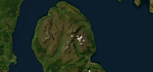
County Antrim · United Kingdom
Antrim Coast Road
A2Glenarm to Cushendall
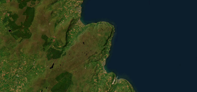
The A2 Antrim Coast Road, a feat of 1830s engineering running at the foot of the glens with the sea on one side and basalt cliffs on the other.
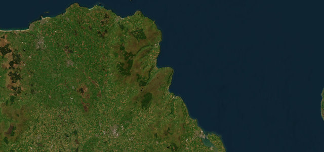
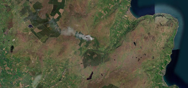
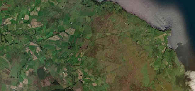
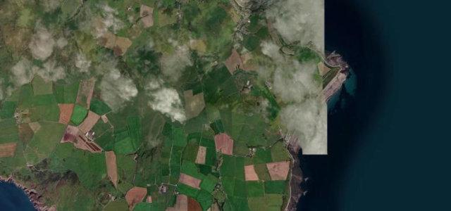
The Antrim Coast Road is the spectacular heart of the Causeway Coastal Route, the A2 hugging the shoreline between Glenarm and Cushendall with the North Channel on one side and the towering cliffs and the Glens of Antrim on the other. Engineered in the 1830s to be carved into the base of the cliffs, it is a flowing, largely gentle coastal drive rather than a technical pass, taking in Carnlough harbour, Garron Point and Waterfoot. A large traveller survey once ranked the view among the most spectacular in the world. It can be busy with tourists in season and exposed to weather. Mind rockfall and debris below the cliffs, sea spray and strong gusts in bad weather, and slow tourist traffic at the harbours and viewpoints.
Where it runs12.6 mi · point to point
Navigate to the start: Apple Maps · Google Maps
Character
Corners
busiest around mile 1Elevation
under 4%4–8%over 8%2.6 – 24 mPoints of interest2 stops
- Red Bay CastleLandmark12 mi in
- Dunmaul FortLandmark7.0 mi in
Hazards
- Rockfall and debris below the cliffs
- Sea spray and strong coastal gusts
- Slow tourist traffic at harbours and viewpoints
Sources
“Tucked under limestone cliffs with the sea crashing a few feet to the right, the drive is packed with scenery, historical sites, and colorful coastal villages.”
Verified route: mapped from real road geometry and fact-checked by a human editor. How roads get checked
Driving the Antrim Coast Road: quick answers
How long does it take to drive the Antrim Coast Road?
How difficult is the Antrim Coast Road to drive?
When is the best time to drive the Antrim Coast Road?
Nearby roads
The closest great drives to Antrim Coast Road.