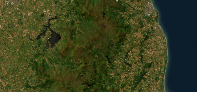
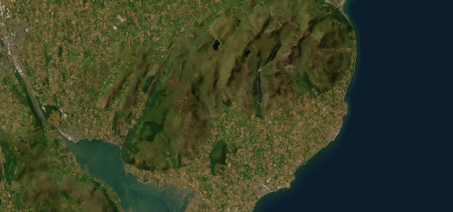
County Wicklow · Ireland
Sally Gap
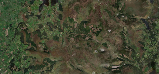
R115Sally Gap to Glendalough
A lonely bog road over the Wicklow Mountains.
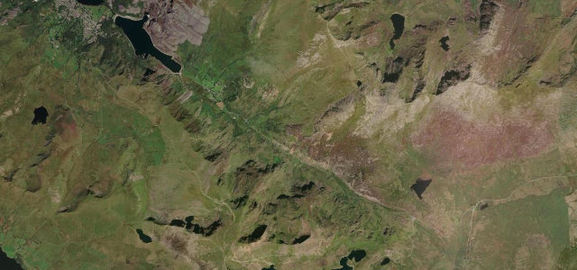
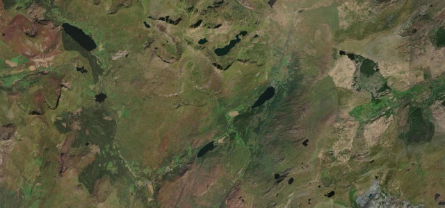
The R115 'Old Military Road' crosses Sally Gap at over 500 m through the wild blanket bog of the Wicklow Mountains, past Glenmacnass waterfall. Empty, atmospheric and exposed; watch for sheep, sudden mist, and unfenced bog right up to the tarmac.
Where it runs15.9 mi · point to point
Sally GapStart · County Wicklow
GlendaloughEnd · County Wicklow
Navigate to the start: Apple Maps · Google Maps
Character
Corners28bends
Tightness5of 10
Max gradient8%≈ 1-in-13
Descent432 mtotal descent
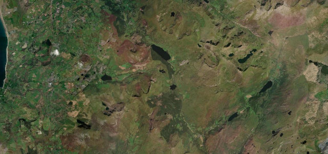
Summit522.2 mhighest point of the line · 1,713 ft
The highest road in Ireland, by our count in the catalogue.
Corners
busiest around mile 5Elevation
under 4%4–8%over 8%198.8 – 522.2 mFrom the road
Points of interest3 stops
- SallygapViewpoint4.5 mi in
- Oasis Mountain LodgeLandmark10 mi in
- Glenmacnass WaterfallLandmark12 mi in
Hazards
- Sudden mist on the bog
- Sheep on the open road
- Unfenced bog and water
Sources
“Set high in the Wicklow Mountains, there are two roads to reach the summit (Bearnas na Diallaite in Irish Gaelic), both paved but challenging, with narrow parts and curvy sections.”
Verified route: mapped from real road geometry and fact-checked by a human editor. How roads get checked
Driving the Sally Gap: quick answers
How long does it take to drive the Sally Gap?
Sally Gap runs 15.9 miles (26 km) and takes about 32 min to drive without stops.
How difficult is the Sally Gap to drive?
We rate it demanding: 28 corners, a maximum gradient of 8%, and a tightness of 5 out of 10.
When is the best time to drive the Sally Gap?
Spring and Summer and Autumn are best.
Nearby roads
The closest great drives to Sally Gap.
Sally Gap
DirectionsGet the app