County Kerry · Ireland
Conor Pass
R560Dingle to Cloghane
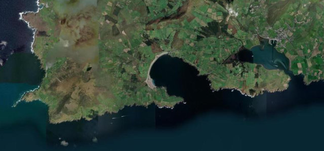
The R560 crosses from Dingle to Cloghane in 7.3 miles, a narrow mountain road that tops out at 456 m with passing places for oncoming cars.
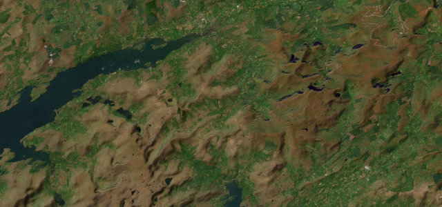
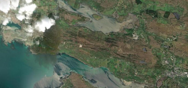
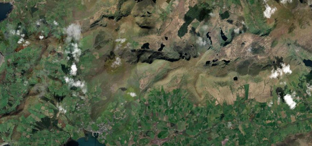
The R560 Conor Pass climbs to 456 m across the spine of the Dingle Peninsula, one of Ireland’s highest and narrowest public roads, a single-track shelf cut into the mountainside with corrie lakes below and the Atlantic on both sides. Spectacular and tight; mind the oncoming cars, the rock walls, and the weather rolling off the sea.
A single-track ribbon up the spine of the Dingle Peninsula, past dark lakes and dripping rock, then the land falls away to bay and Atlantic light. Tight, deliberate, breathtaking.
Why we picked it
Scenery
Best seasons
In these collections
In these Grand Tours
In these guides
Where it runs7.3 mi · point to point
Navigate to the start: Apple Maps · Google Maps
Character
Corners
busiest around mile 7Elevation
under 4%4–8%over 8%12.7 – 410 mFrom the road
Points of interest3 stops
- An ChonairViewpoint4.2 mi in
- SugarloafViewpoint1.7 mi in
- An Bhinn DubhViewpoint3.7 mi in
Hazards
- Single-track with sheer drops
- Oncoming cars at passing places
- Fast sea weather
Sources
“the most dramatic and scenic way of crossing from the north to south coast of the Dingle Peninsula”
Verified route: mapped from real road geometry and fact-checked by a human editor. How roads get checked
Driving the Conor Pass: quick answers
How long does it take to drive the Conor Pass?
How difficult is the Conor Pass to drive?
When is the best time to drive the Conor Pass?
Nearby roads
The closest great drives to Conor Pass.