County Kerry · Ireland
Slea Head Drive
R559Dingle to Dunquin
The R559 loops the western tip of the Dingle Peninsula past beehive huts and golden strands, narrow enough that meeting a tour coach is the day’s main event.
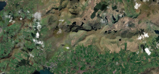
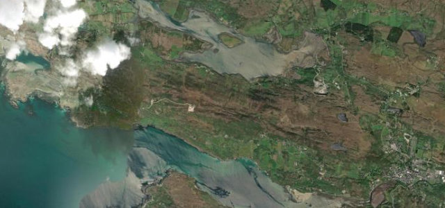
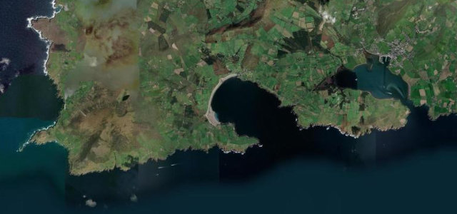
The R559 Slea Head Drive loops around the western tip of the Dingle Peninsula, a narrow, dramatic coast road past beehive huts, golden strands and the Blasket Islands out in the Atlantic. Beautiful but tight; mind the single-track sections, the tour coaches, and walkers on the road.
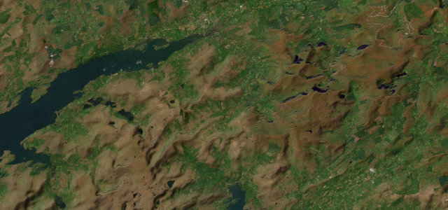
This loop clings to the very edge of the Dingle Peninsula, hairpins above a crashing Atlantic, the Blasket Islands drifting in and out of the mist offshore.
Why we picked it
Scenery
Best seasons
In these collections
In these Grand Tours
Where it runs12.8 mi · point to point
Navigate to the start: Apple Maps · Google Maps
Character
Corners
busiest around mile 9Elevation
under 4%4–8%over 8%1.7 – 74.2 mFrom the road
Points of interest2 stops
- Ceann SléibheViewpoint11 mi in
- Fahan Beehive HutsLandmark9.0 mi in
Hazards
- Single-track coast sections
- Tour coaches
- Walkers on the road
Sources
“Slea Head Drive is one of Ireland's best coastal routes”
Verified route: mapped from real road geometry and fact-checked by a human editor. How roads get checked
Driving the Slea Head Drive: quick answers
How long does it take to drive the Slea Head Drive?
How difficult is the Slea Head Drive to drive?
When is the best time to drive the Slea Head Drive?
Nearby roads
The closest great drives to Slea Head Drive.