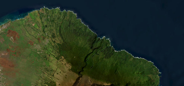
Hawaii · United States
Road to Hana
HI 360SR 360Paia to Hana
620 curves and 59 bridges through Maui’s rainforest coast.
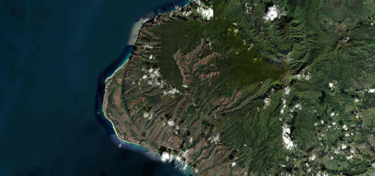
The Hana Highway winds along Maui’s lush north-east coast, some 620 curves and 46 one-lane bridges past waterfalls, bamboo forest and black-sand beaches on the way to the village of Hana. Slow and narrow; mind the single-lane bridges, the blind curves, and the cyclists and stopping sightseers.
One-lane bridges and blind switchbacks threading Maui’s rainforest coast, every corner opening onto waterfalls and sea cliffs. Drive it without a clock.
Why we picked it
Scenery
Best seasons
In these collections
In these guides
Where it runs42.5 mi · point to point
Navigate to the start: Apple Maps · Google Maps
Character
Corners
busiest around mile 18Elevation
under 4%4–8%over 8%7.9 – 392.3 mPoints of interest3 stops
- Rainbow OverlookViewpoint20 mi in
- Keanae Peninsula LookoutViewpoint26 mi in
- Wailua Valley State WaysideViewpoint27 mi in
Hazards
- One-lane bridges and blind curves
- Stopping sightseers
- Falling rock after rain
Sources
“Hawaii's most iconic highway”
Verified route: mapped from real road geometry and fact-checked by a human editor. How roads get checked
Driving the Road to Hana: quick answers
How long does it take to drive the Road to Hana?
How difficult is the Road to Hana to drive?
When is the best time to drive the Road to Hana?
Nearby roads
The closest great drives to Road to Hana.