Hawaii · United States
Waimea Canyon Drive
HI 550Waimea to Pu’u o Kila Lookout
Distance19.1 mi31 km
Drive time38 minon the road
DifficultyEasytightness 5 of 10
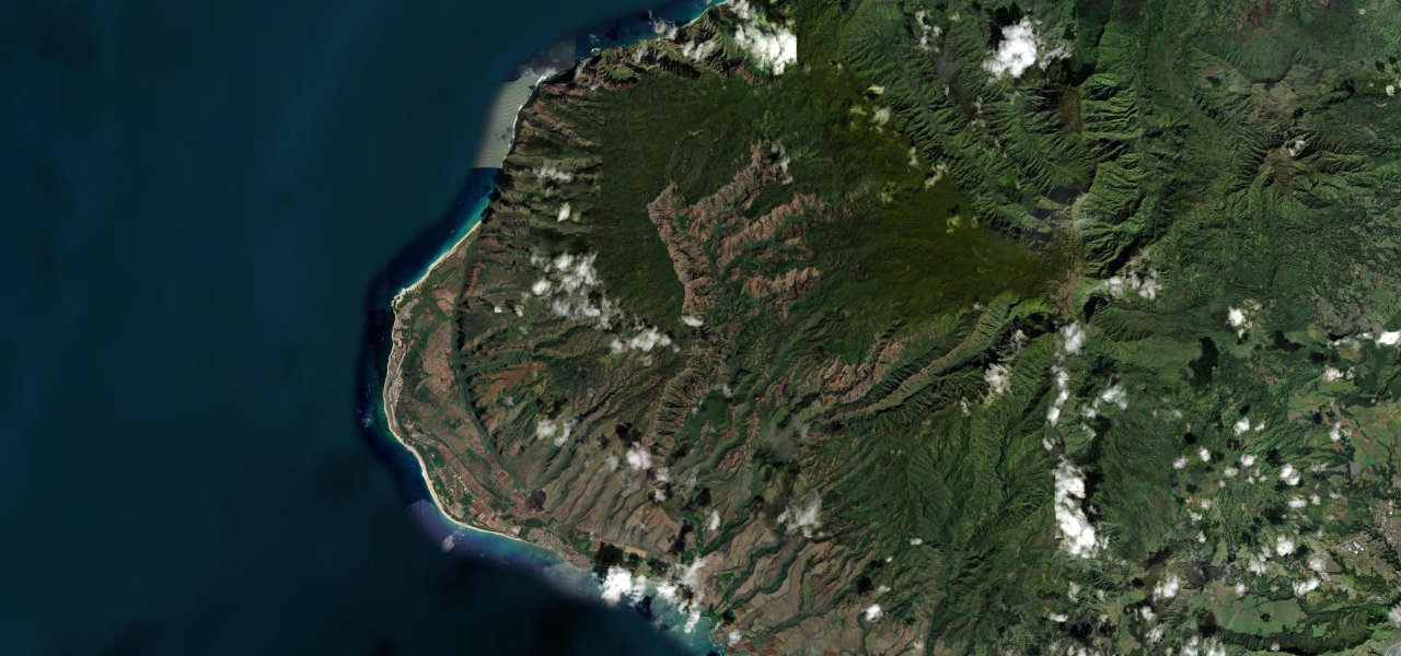
Hawaii’s answer to the Grand Canyon: a 22 km road climbing from sea-level Waimea to 1,273 m along the rim of a 3,600-ft-deep canyon of layered reds and greens.
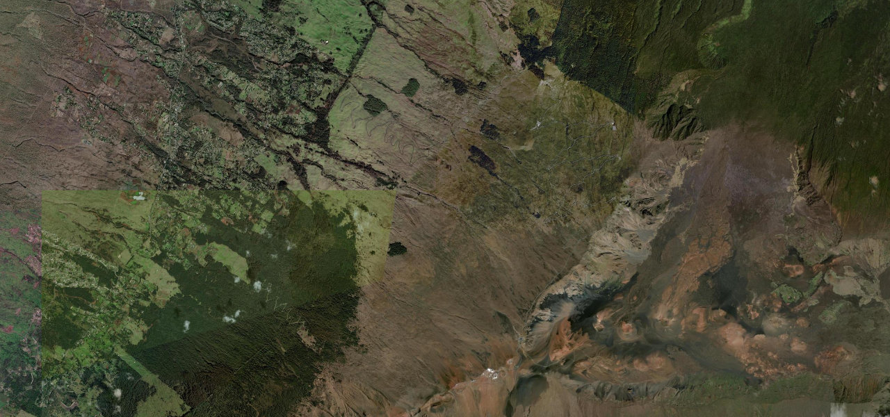
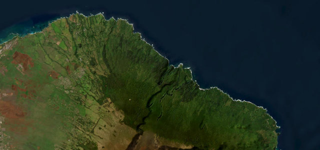
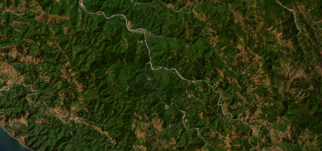
Route 550 climbs from Waimea on Kauai’s west coast through the island’s interior, the southern section running along the canyon’s eastern rim with lookouts revealing its full grandeur. Beyond mile 13 it enters Koke’e State Park as forest closes in, ending at the Pu’u o Kila Lookout at 4,176 ft above the Kalalau Valley. Morning visits beat the midday cloud.
Scenery
GorgeMountainValleyForest
Where it runs
WaimeaStart · Hawaii
Pu’u o Kila LookoutEnd · Hawaii
Navigate to the start: Apple Maps · Google Maps
Character
Corners65bends
Tightness5of 10
Max gradient8%≈ 1-in-13
Hairpins3tight bends
Climb1,272 mtotal ascent
Summit1,270 mhighest point of the line · 4,167 ft
Elevation
under 4%4–8%over 8%6 – 1,270 mHazards
- narrow road with blind curves
- steep drop-offs
- afternoon cloud obscuring canyon views
- wild chickens and nene geese
- limited passing areas
Sources: Road geometry © OpenStreetMap contributors
Nearby roads
The closest great drives to Waimea Canyon Drive.
Waimea Canyon Drive
Directions