Hawaii · United States
Haleakala Crater Road
HI 378Pukalani to Haleakala Summit
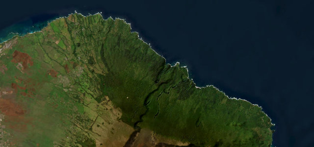
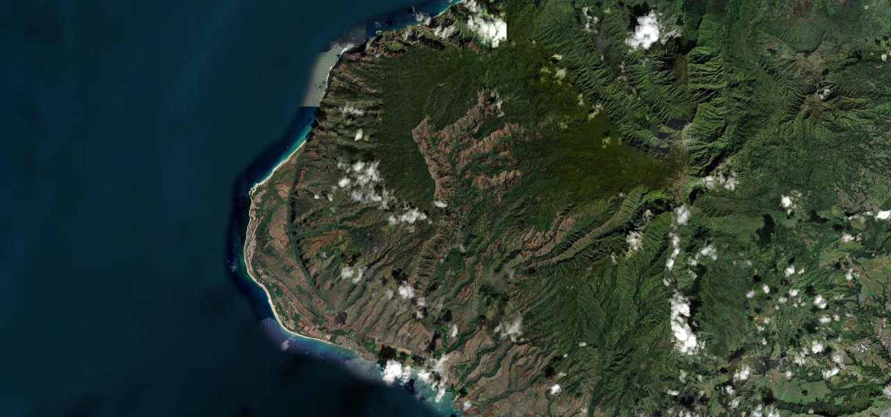
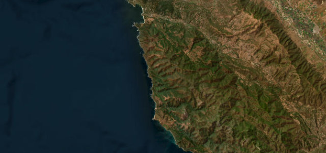
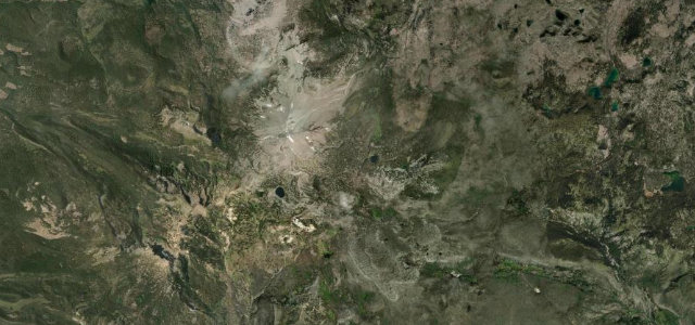
The paved road to the top of Haleakala climbs from Maui’s central plain to 3,055 m, the world’s steepest sea-to-summit drive, through multiple climate zones to an otherworldly summit crater.
Route 378 begins at its junction with HI-377 near Pukalani and winds up the dormant volcano’s flanks through 32 switchbacks, tropical vegetation giving way to subalpine shrubland and the rust-red cinders of the summit zone. It ends at Pu’u'ula’ula (Red Hill) at 10,023 ft, often above the clouds. A timed reservation is required for sunrise.
Where it runs
Navigate to the start: Apple Maps · Google Maps
Character
Higher than 9 in 10 roads · the most hairpins in the United States, by our count in the catalogue.
Elevation
under 4%4–8%over 8%1,037 – 3,035 mHazards
- blind bends
- steep drop-offs without guardrails
- altitude sickness above 3,000 m
- sudden weather and ice at the summit
- cattle and nene geese on the road
Sources: Road geometry © OpenStreetMap contributors
Nearby roads
The closest great drives to Haleakala Crater Road.