Bay of Plenty · New Zealand
Pacific Coast Highway (Ōpōtiki to Waihau Bay)
SH 35Ōpōtiki to Waihau Bay
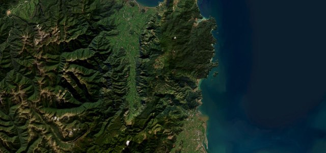
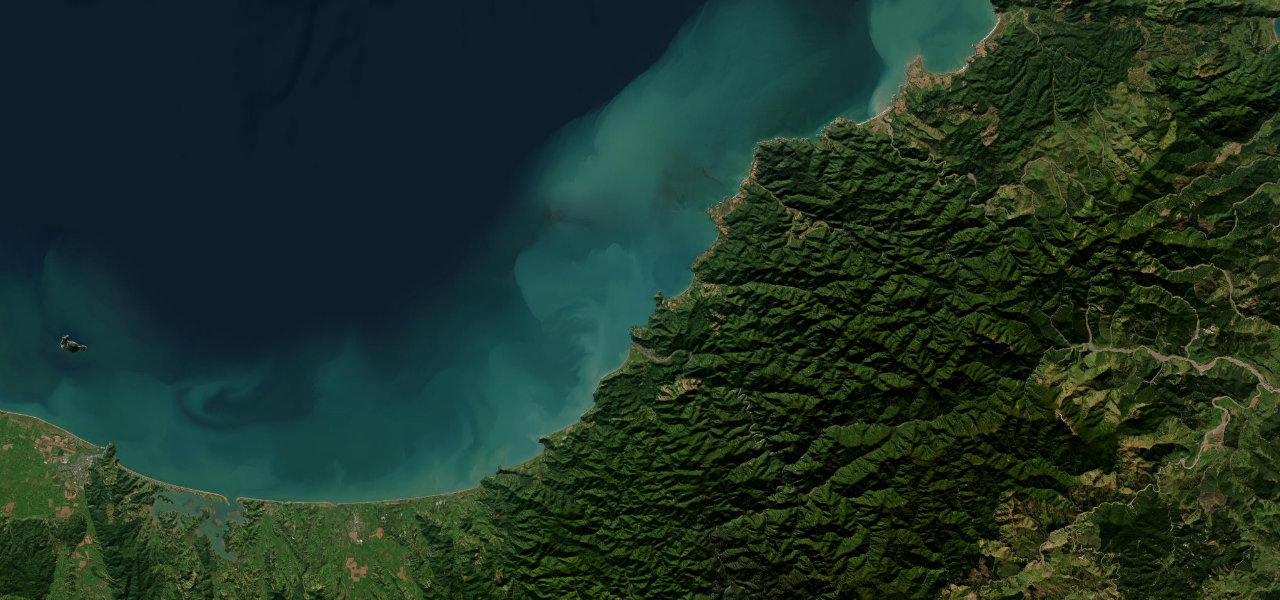
The Bay of Plenty stretch of SH 35, about 103 km from Ōpōtiki to Waihau Bay, winding from bay to bay under pōhutukawa past Tōrere, the Mōtū River mouth, Te Kaha and the lone church at Raukokore.
SH 35 leaves Ōpōtiki along St John Street, turns east and follows the Bay of Plenty coast past Tirohanga to the beaches around Tōrere, about 21 km out. It climbs over Maraenui Hill, where a lookout sits beside the road, and comes down to cross the Mōtū River near its mouth. From Ōmaio the road winds from bay to bay, often narrow and steep, to Te Kaha, about 66 km from Ōpōtiki, and on to Whanarua Bay, where Pacific Coast Macadamias and the Nuthouse Café make a summer stop. At Raukokore the Anglican church built in 1894 stands on its own by the shore, and the section ends at Waihau Bay, a fishing bay with a general store and a jetty. Pōhutukawa shelter much of the road and are a sight when they flower, and horses are still a genuine way of getting about, so expect them on the road. SH 35 is prone to slips: storms in January 2026 closed it for weeks between Pōtaka and Te Araroa, east of this section.
Scenery
Best seasons
In these collections
Pacific Coast Highway (Ōpōtiki to Waihau Bay) on the map63.9 mi · point to point
Navigate to the start: Apple Maps · Google Maps
Character
Corners
busiest around mile 25Elevation
under 4%4 to 8%over 8%3 to 200 mPoints of interest4 stops
- Maraenui Hill LookoutLookout beside the highway on the climb over Maraenui Hill, between Tōrere and the Mōtū River.20 mi in
- The Nuthouse CaféCafé at Pacific Coast Macadamias in Whanarua Bay, a summer stop for macadamia treats.52 mi in
- Raukokore ChurchChrist Church, built by Duncan Stirling in 1894, stands alone by the shore and is a Category 1 Historic Place.61 mi in
- Waihau Bay StoreGeneral store by the jetty at Waihau Bay, where this section ends.64 mi in
Hazards
- Narrow, steep and winding in places
- Horses on the road
- Slips after heavy rain
Sources
“Also known as the Pacific Coast Highway, this winding, narrow slice of bitumen is a revelation.”
“Cruising east from Ōpōtiki, you’ll meander past stunning East Coast beaches and towns with views out across the Pacific Ocean.”
Route traced from OpenStreetMap, with its stats measured from that line. How the roads are mapped
Driving the Pacific Coast Highway (Ōpōtiki to Waihau Bay): quick answers
How long does it take to drive the Pacific Coast Highway (Ōpōtiki to Waihau Bay)?
How difficult is the Pacific Coast Highway (Ōpōtiki to Waihau Bay) to drive?
When is the best time to drive the Pacific Coast Highway (Ōpōtiki to Waihau Bay)?
Nearby roads
The closest great drives to Pacific Coast Highway (Ōpōtiki to Waihau Bay).