Khomas / Erongo · Namibia
Kuiseb Pass
C14Tropic of Capricorn sign to Kuiseb Canyon turn-off
The C14 toward Walvis Bay crosses the Gaub Pass, then the Kuiseb Pass, which drops at up to 1:9 into a canyon dividing the Namib’s dunes from its rocky plains, on a road that is mostly gravel.
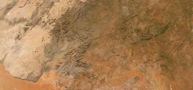
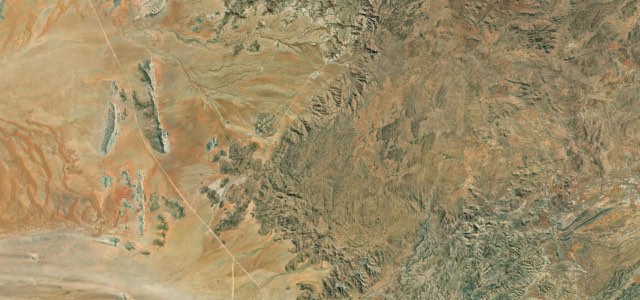
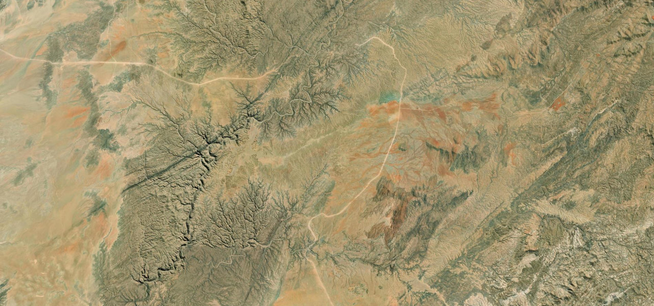
From the Tropic of Capricorn sign north-west of Solitaire, the C14 reaches the Gaub Pass within 3 km to cross the Gaub River canyon, then runs north-east over the plateau past the junction with the C26 from the Gamsberg before swinging west for the Kuiseb Pass. The descent into the Kuiseb Canyon has tarred stretches and gradients of up to 1:9, and crosses the Kuiseb River on a bridge built in 1965. A viewpoint by the bridge looks toward Karpfenkliff, the overhang where the geologists Henno Martin and Hermann Korn first sheltered after going into hiding in 1940, the story of The Sheltering Desert. The road then climbs out west of the river onto the plains toward Walvis Bay; the canyon marks the line between the sand dunes to the south and the rocky desert to the north. Most of the section is gravel that can be sandy and slippery, with sharp drops beside the road in the canyon, so take it slowly and in daylight.
Scenery
Best seasons
In these collections
Kuiseb Pass on the map29.2 mi · point to point
Navigate to the start: Apple Maps · Google Maps
Character
Corners
busiest around mile 2Elevation
under 4%4 to 8%over 8%737 to 1,006 mPoints of interest5 stops
- Tropic of CapricornRoad sign on the Tropic, one of the tourist stops listed along the C14.at the start
- Gaub PassFree roadside parking at the Gaub River crossing.1.7 mi in
- Kuiseb PassThe named pass on the canyon descent, at about 905 m on the Khomas and Erongo boundary.23 mi in
- Karpfenkliff viewpointLooks toward Karpfenkliff, the overhang where Henno Martin and Hermann Korn first sheltered in 1940.24 mi in
- Kuiseb BridgeThe C14’s crossing of the Kuiseb River, built in 1965.24 mi in
Hazards
- Gravel that can be sandy and slippery
- Steep sections of up to 1:9 into the canyon
- No crash barriers on parts of the pass
- Dangerous after heavy rain
- Best avoided after dark
Sources
“Yes, Kuiseb Pass offers great views and striking landscapes, making it a worthwhile visit.”
“Combined with the sometimes tight corners, sharp drops beside the road down to the gorge below, and other road users in the area, care and slow speeds are key.”
“The C14 is one of the major tourist routes in Namibia”
Route traced from OpenStreetMap, with its stats measured from that line. How the roads are mapped
Driving the Kuiseb Pass: quick answers
How long does it take to drive the Kuiseb Pass?
How difficult is the Kuiseb Pass to drive?
When is the best time to drive the Kuiseb Pass?
Nearby roads
The closest great drives to Kuiseb Pass.