Khomas Region · Namibia
Gamsberg Pass
C26Windhoek to Rostock (C14 junction)
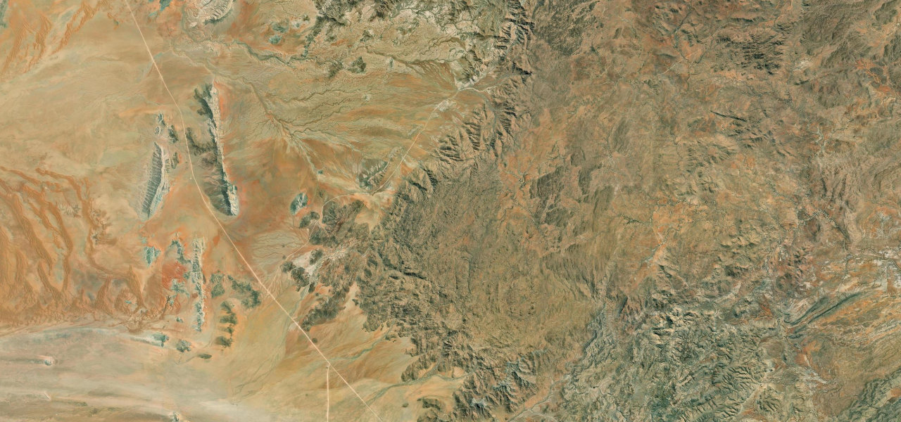
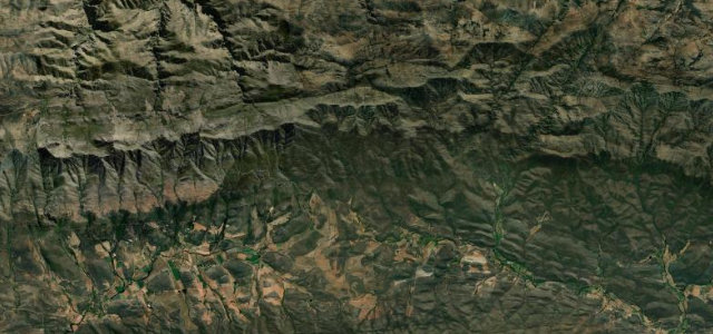
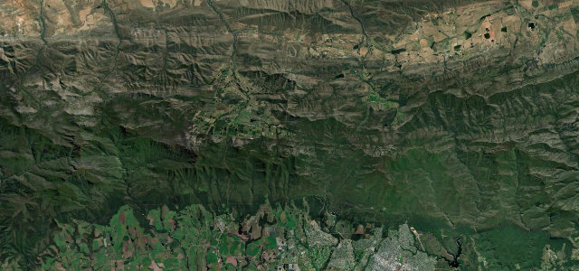
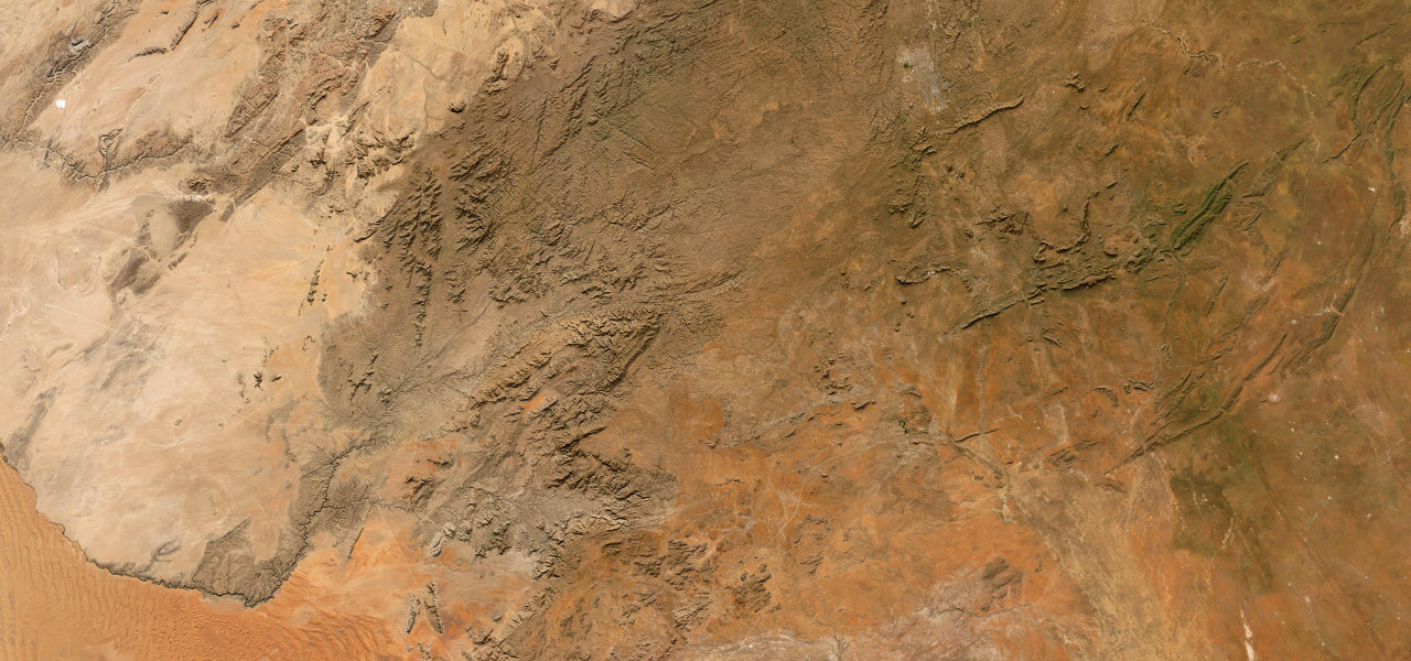
Namibia’s longest mountain pass, 192 km of gravel from Windhoek across the Great Escarpment at nearly 1,900 m, descending through the Kuiseb valley to the edge of the Namib, with no towns and no tarmac.
The C26 leaves Windhoek southwest into the Khomas Highland before cresting Gamsberg Pass (1,867 m), where the flat-topped Gamsberg inselberg dominates, then descends dramatically into the Kuiseb valley toward the desert before rejoining C14 near Rostock. The entire 192 km is unpaved gravel, one of the great Southern African gravel drives; carry extra fuel and water.
Scenery
Where it runs
Navigate to the start: Apple Maps · Google Maps
Character
Elevation
under 4%4–8%over 8%1,041 – 2,024 mHazards
- entirely unpaved gravel
- corrugated sections
- loose stones
- no fuel between Windhoek and C14
- summer flash floods
Sources: Road geometry © OpenStreetMap contributors
Nearby roads
The closest great drives to Gamsberg Pass.