Dead Sea Region · Israel
Dead Sea Highway
Route 90Qumran to Ein Bokek
Distance53.7 mi86 km
Drive time1 h 38 minon the road
DifficultyEasytightness 3 of 10
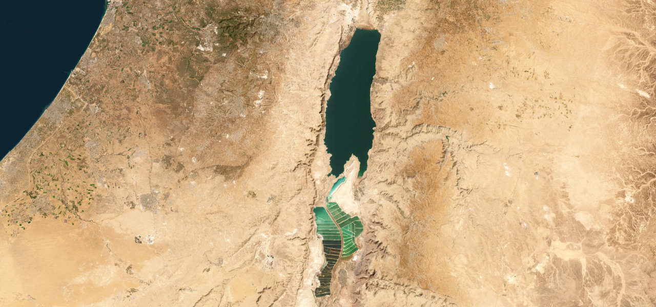
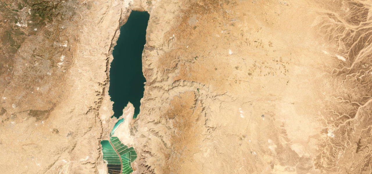
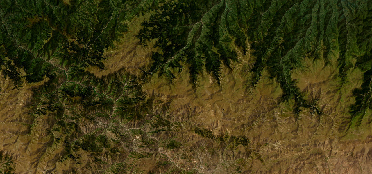
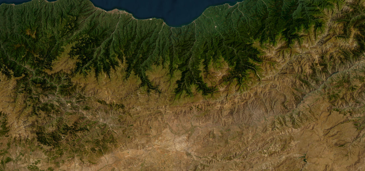
Route 90's Dead Sea section is the lowest paved road on earth, running around 430 m below sea level for 100 km between the turquoise salt lake and the sheer Judean Desert cliffs, past Masada.
Entering the Dead Sea basin near Qumran, where the Dead Sea Scrolls were found in the clifftop caves above, the road drops to the shore and stays there, arrow-straight for long stretches. Landmarks appear one by one: the Ein Gedi oasis, the 440 m rock plateau of Masada, and the resort strip of Ein Bokek at the southern end.
Where it runs
QumranStart · Dead Sea Region
Ein BokekEnd · Dead Sea Region
Navigate to the start: Apple Maps · Google Maps
Character
Corners5bends
Tightness3of 10
Max gradient8%≈ 1-in-13
Climb292 mtotal ascent
Summit-270 mhighest point of the line · -886 ft
Elevation
under 4%4–8%over 8%-393 – -270 mPoints of interest
- תצפית לים המלחViewpoint
- תצפית מפל קדרוןViewpoint
- ראש צוקיםViewpoint
Hazards
- Extreme summer heat regularly exceeding 45 C from June to August
- Driver fatigue on long straight sections with no median barrier
- Heavy truck traffic sharing a narrow two-lane road
- Salt-laden air and humidity can impair glass visibility
Sources: Road geometry © OpenStreetMap contributors
Nearby roads
The closest great drives to Dead Sea Highway.
Dead Sea Highway
Directions