Region of Crete · Greece
Kourtaliotiko Gorge Road
Koxare to Frati
Down through the limestone narrows of the Kourtaliotiko gorge to Crete’s south coast, past waterfalls and the chapel of Saint Nicholas pinned to the cliff.
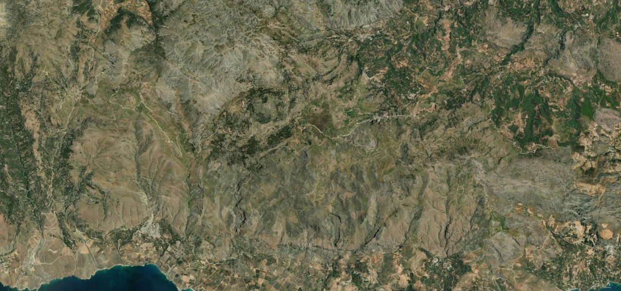
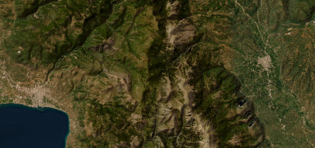
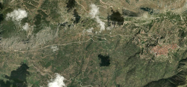
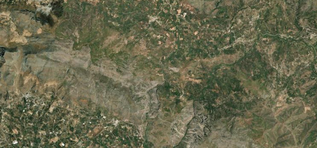
This Cretan road threads the Kourtaliotiko gorge near Koxare in the Rethymno region, descending steep limestone walls toward Plakias and the south coast. The winding route passes the gorge’s waterfalls and the cliffside Saint Nicholas chapel, with pull-offs framing the ravine. Mind the falling rock, tight blind curves through the narrows and oncoming tour traffic in summer.
Scenery
Best seasons
In these collections
Where it runs3.4 mi · point to point
Navigate to the start: Apple Maps · Google Maps
Character
Corners
busiest around mile 1Elevation
under 4%4–8%over 8%169.5 – 288.3 mFrom the road
Points of interest2 stops
- Kourtaliotis GorgeLandmark2.5 mi in
- KefalaViewpoint1.8 mi in
Hazards
- Falling rock in the gorge
- Blind curves in narrows
- Summer tour traffic
Sources
“The road is carved directly into the sides of towering vertical cliffs.”
Verified route: mapped from real road geometry and fact-checked by a human editor. How roads get checked
Driving the Kourtaliotiko Gorge Road: quick answers
How long does it take to drive the Kourtaliotiko Gorge Road?
How difficult is the Kourtaliotiko Gorge Road to drive?
When is the best time to drive the Kourtaliotiko Gorge Road?
Nearby roads
The closest great drives to Kourtaliotiko Gorge Road.