Arcadia, Peloponnese · Greece
Leonidio to Kosmas
Leonidio to Kosmas
Sea level to 1,150 m through a red-cliff gorge past a hanging monastery.
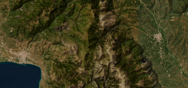
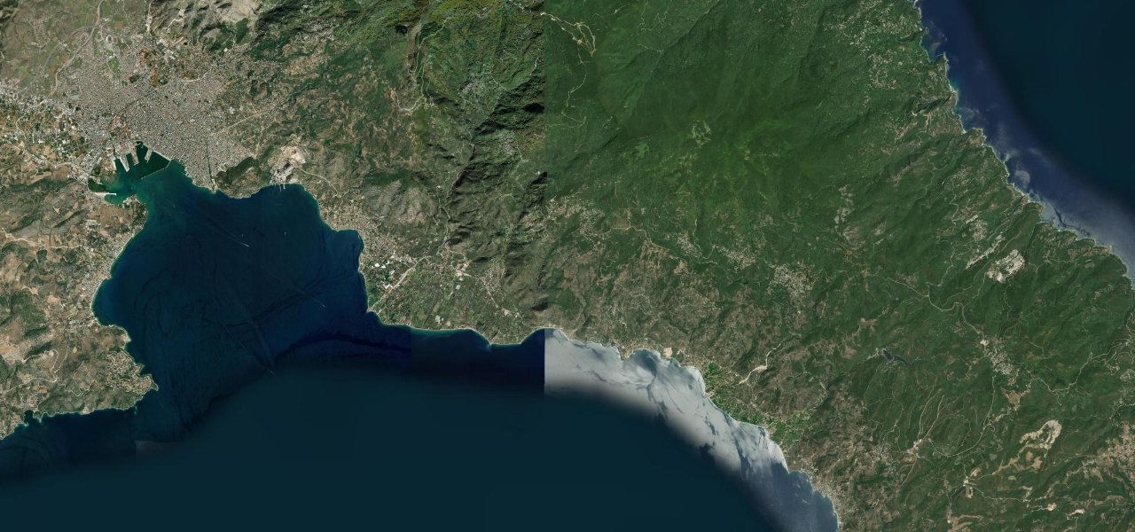
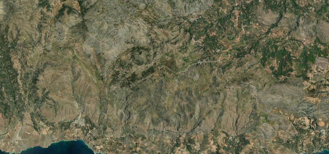
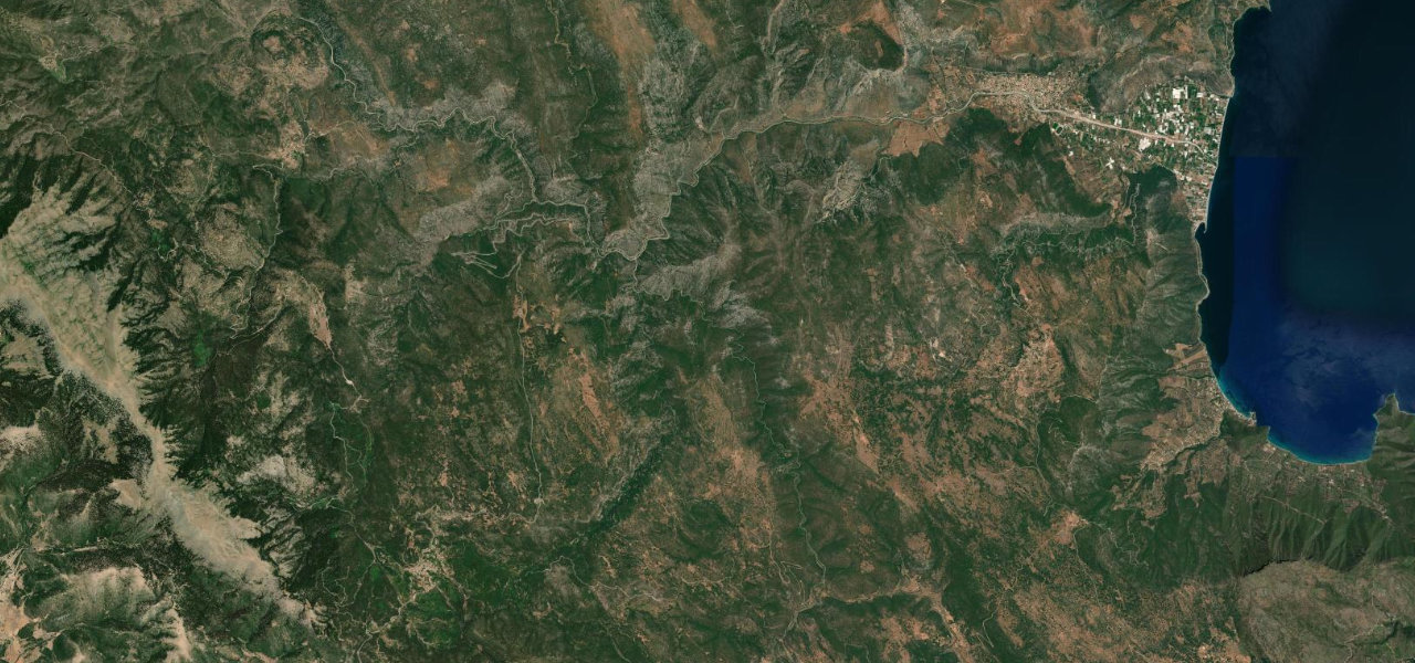
This is one of the great climbs of the Peloponnese: nearly 30 km from the seafront at Leonidio, under the huge red crag of Kokkinovrachos, up the Dafnon gorge to the mountain village of Kosmas at 1,150 m. Halfway up, the whitewashed Elona monastery clings to a sheer cliff face like a swallow’s nest, one of the most extraordinary sights in Greece. The road is a cyclist’s legend and a driver’s treat, smooth switchbacks between rock walls with the gorge falling away below. It is a genuine winter mountain road, chained above the monastery in January frost and often snowbound at Kosmas, so save it for the warmer half of the year.
Where it runs17.1 mi · point to point
Navigate to the start: Apple Maps · Google Maps
Character
Elevation
under 4%4–8%over 8%55 – 1,198 mThe strip below the profile is corner density: taller, warmer ticks mean tighter bends.
Points of interest3 stops
- Panagia Elona MonasteryLandmark3.8 mi in
- Kosmas plane-tree squareFood and drink17 mi in
- Leonidio old townLandmarkat the start
Hazards
- Winter frost and snow on the upper half, chains have been mandated above the monastery
- Pilgrim traffic and parked cars around the Elona monastery junction on feast days
- Blind rock-wall corners in the gorge, popular with cyclists
Verified route: mapped from real road geometry and fact-checked by a human editor. How roads get checked
Driving the Leonidio to Kosmas: quick answers
How long does it take to drive the Leonidio to Kosmas?
How difficult is the Leonidio to Kosmas to drive?
When is the best time to drive the Leonidio to Kosmas?
Nearby roads
The closest great drives to Leonidio to Kosmas.