Laconia, Peloponnese · Greece
Deep Mani Road
Areopoli to Cape Tainaron (Porto Kagio)
The wild spine of the Mani finger, threading barren limestone ridges and medieval tower villages down to the southernmost tip of mainland Greece.
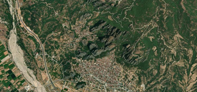
From the austere hilltop town of Areopoli the road winds south through the Deep Mani, a peninsula of grey limestone slopes and sparse phrygana scrub. The route passes Vathia — a cluster of centuries-old stone tower houses perched on a barren crag — before descending to Porto Kagio and the road-end for Cape Tainaron, the southernmost point of mainland Greece. Traffic is light outside high summer and the landscape grows progressively wilder and more elemental the further south you go.
Scenery
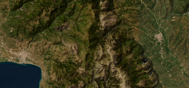
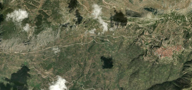
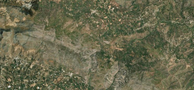
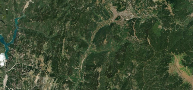
Where it runs
Navigate to the start: Apple Maps · Google Maps
Character
Elevation
under 4%4–8%over 8%6 – 258 mHazards
- very narrow lanes through villages
- no crash barriers on cliff edges
- extreme heat in summer
- minimal fuel and services south of Areopoli
Sources: Road geometry © OpenStreetMap contributors
Nearby roads
The closest great drives to Deep Mani Road.