Psiloritis, Crete · Greece
Nida Plateau Road
Anogia to Nida plateau
Crete’s climb to Zeus’s cave across the high karst of Psiloritis.
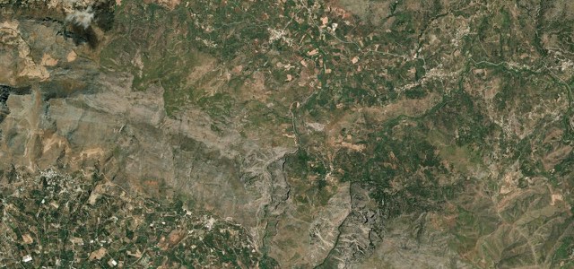
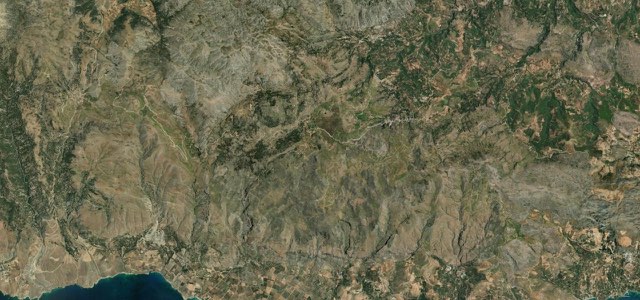
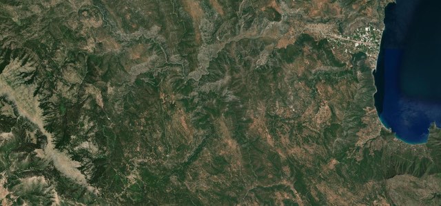
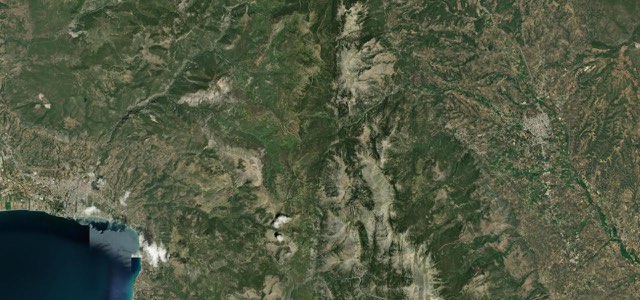
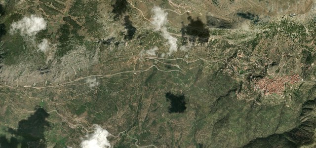
From the mountain town of Anogia the road climbs 21 km up the bare flank of Psiloritis, Crete’s highest mountain, to the lonely Nida plateau at nearly 1,400 m. This is the mythological road to the Ideon Andron, the cave where the infant Zeus was hidden and raised by the Kouretes and fed on the milk of the goat Amalthea, and it ends at a walk from the cave’s mouth. The tarmac is quiet and well surfaced, unfurling across empty high karst with the Skinakas observatory on a spur above. There are no barriers and free-roaming goats own the road, and the plateau holds snow from late autumn, so treat it as a summer drive into deep myth.
Scenery
Best seasons
In these collections
Nida Plateau Road on the map11.9 mi · point to point
Navigate to the start: Apple Maps · Google Maps
Character
Corners
busiest around mile 3Elevation
under 4%4 to 8%over 8%769 to 1,491 mPoints of interest3 stops
- Ideon CaveLandmark12 mi in
- Nida PlateauViewpoint12 mi in
- Skinakas ObservatoryLandmark7.9 mi in
Hazards
- Free-roaming sheep and goats on the open unfenced road
- No guardrails on exposed sections
- Heavy snow and ice on the plateau from late autumn to spring
- Frequent mist and low cloud in the high mountains
Sources
“It is also a route that crosses the most characteristic landscapes of Mt. Psiloritis with unique views to the surrounding summits, from the observatory of Skinakas until Timios Stavros (Holy Cross), the highest summit of Crete”
“These days a paved road leads all the way from the village of Anogeia to the plateau, and it is a short walk to the most famous of all Cretan caves, the Ideon Andron”
Route traced from OpenStreetMap, with its stats measured from that line. How the roads are mapped
Driving the Nida Plateau Road: quick answers
How long does it take to drive the Nida Plateau Road?
How difficult is the Nida Plateau Road to drive?
When is the best time to drive the Nida Plateau Road?
Nearby roads
The closest great drives to Nida Plateau Road.