Peloponnese Region · Greece
Langada Pass
EO82Sparta to Kalamata
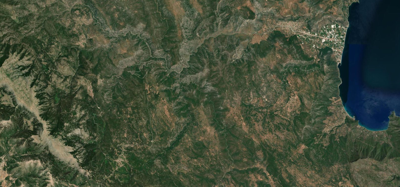
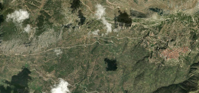
Sparta to Kalamata over the Taygetus range, topping out near 1,300 metres. The best of it is cut into the cliffs of the Langada gorge, tight switchbacks under overhanging rock and through short unlit tunnels.
The EO82 climbs west from Sparta over the Taygetus range to Kalamata, topping out near 1300 metres at the Langada pass. The most dramatic section clings to the cliffs of the Langada gorge through tight switchbacks, overhanging ledges and short unlit tunnels. Mind the overhanging rock, narrow blind bends and rockfall after rain.
Scenery
Best seasons
In these collections
In these guides
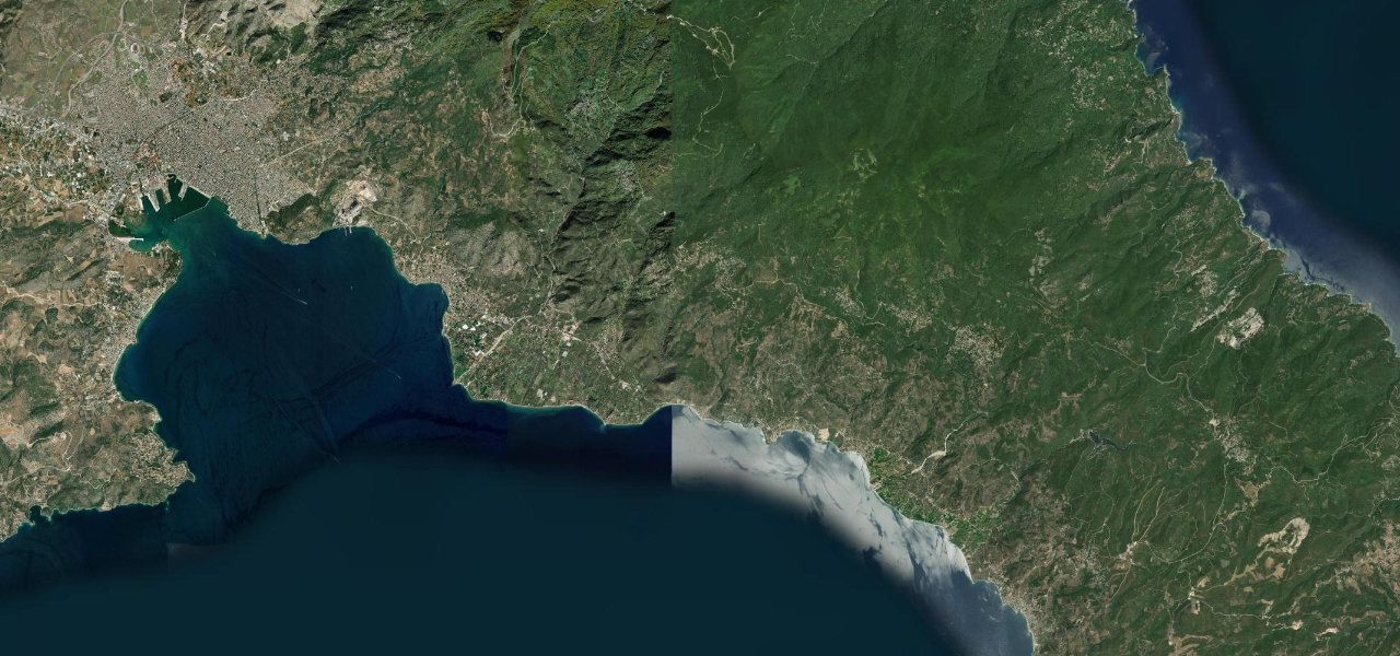
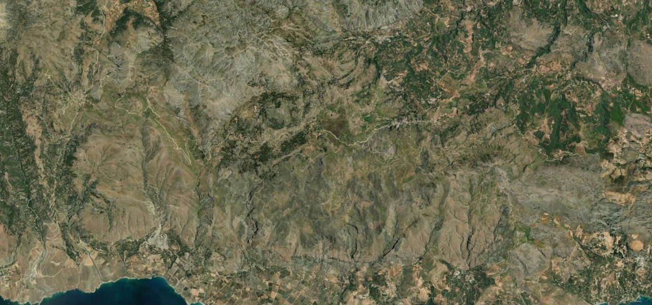
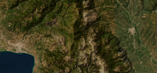
Where it runs33.7 mi · point to point
Navigate to the start: Apple Maps · Google Maps
Character
More hairpins than 9 in 10 roads · the most hairpins in Greece, by our count in the catalogue.
Corners
busiest around mile 29Elevation
under 4%4–8%over 8%27.7 – 1,464.4 mFrom the road
Points of interest3 stops
- LangadaViewpoint16 mi in
- KeadasLandmark6.9 mi in
- F-5 fighter airplaneLandmark33 mi in
Hazards
- Overhanging rock ledges
- Narrow blind bends
- Rockfall after rain
- Short unlit tunnels
Sources
“It features a series of tight squiggles alongside the harrowingly deep gorge of the same name, occasionally burrowing under gravity-defiant, nearly horizontal ledges. Tires screech feistily along curves that resemble ribbon candy.”
Verified route: mapped from real road geometry and fact-checked by a human editor. How roads get checked
Driving the Langada Pass: quick answers
How long does it take to drive the Langada Pass?
How difficult is the Langada Pass to drive?
When is the best time to drive the Langada Pass?
Nearby roads
The closest great drives to Langada Pass.