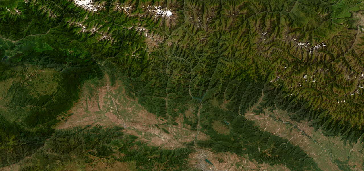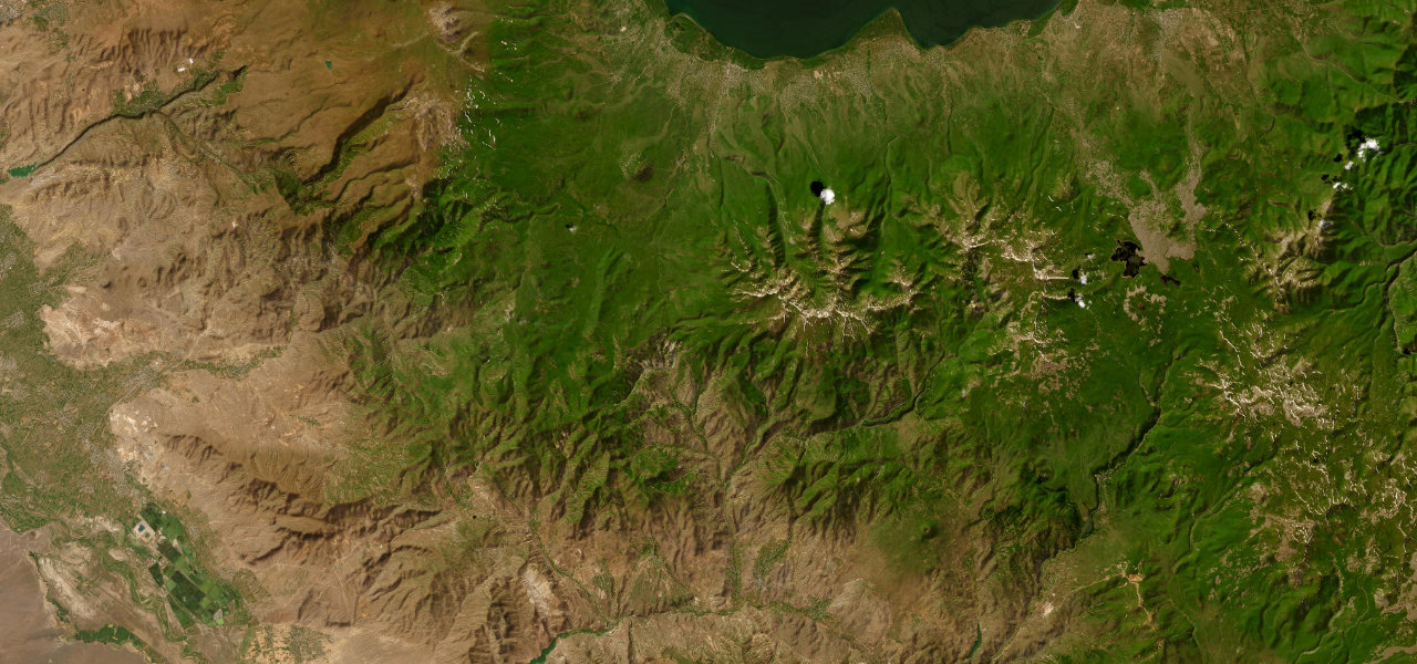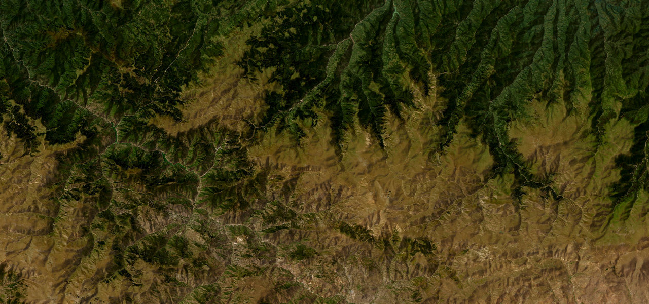
Trabzon / Gümüşhane · Turkey
Zigana Pass
D885Maçka to Gümüşhane
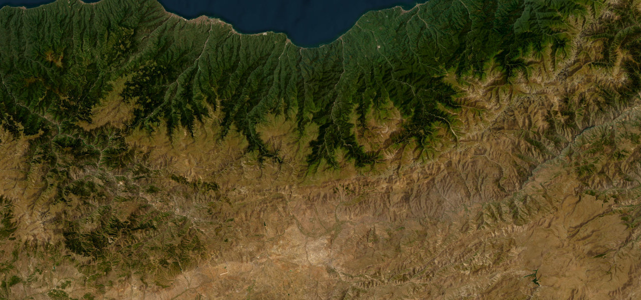
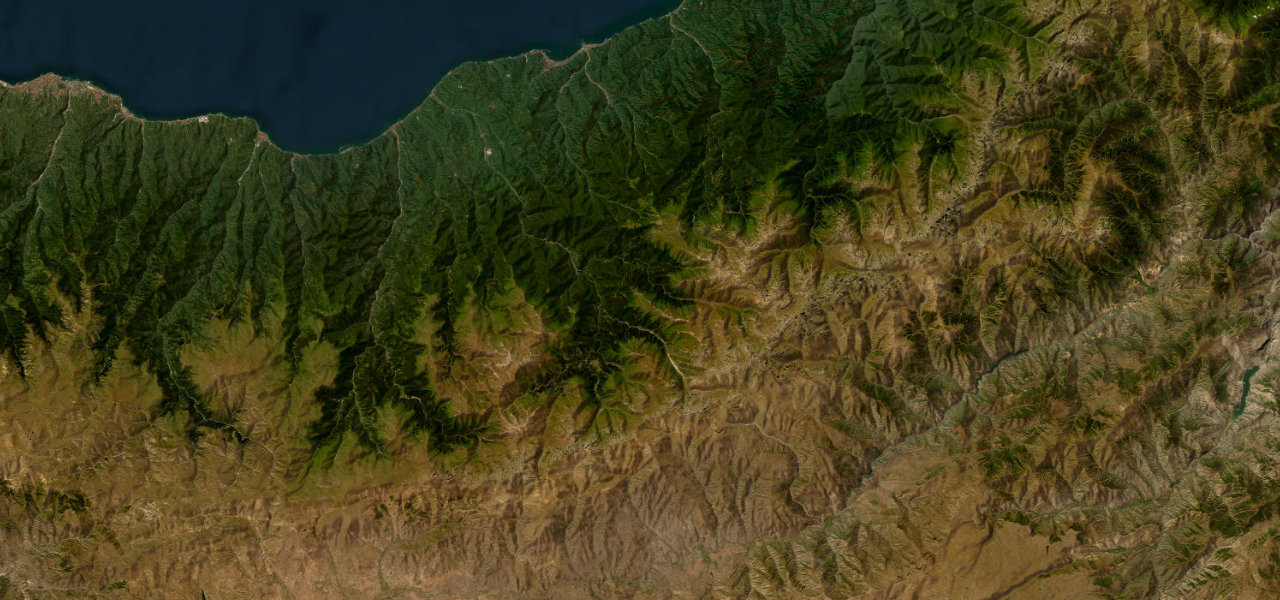
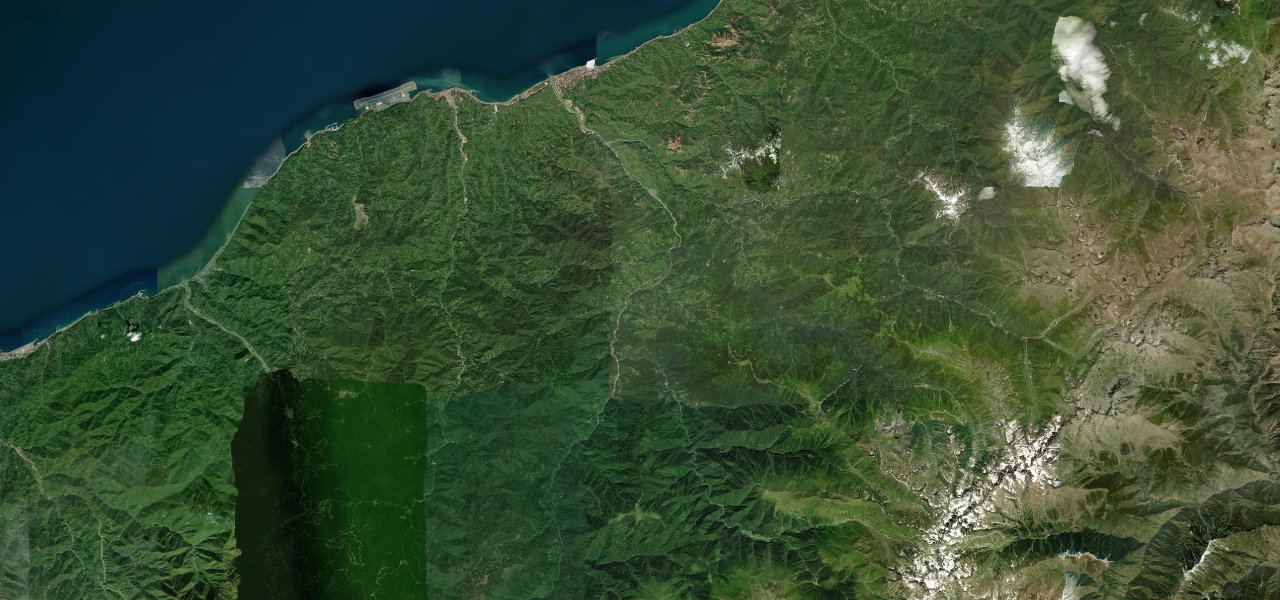
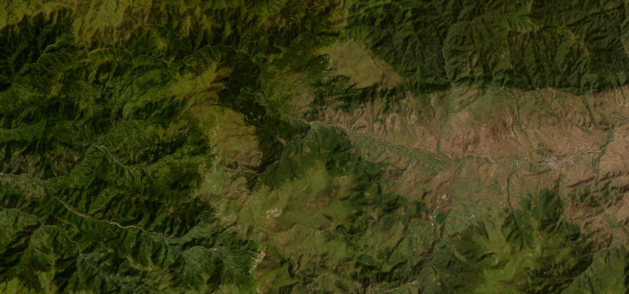
The ancient Silk Road crossing of the Pontic Mountains, the D885 winds from Trabzon’s forested foothills to the 2,032 m Zigana Pass.
The D885 connects Trabzon on the Black Sea coast to the Anatolian interior via the Zigana Pass at 2,032 m, tracing one of the oldest trans-Pontic routes in the world. From Maçka it climbs steeply through dense mixed forest before emerging onto alpine meadows. Snow covers the upper road for around five months; a 2023 tunnel now handles commercial traffic, keeping the historic road quiet.
Scenery
Best seasons
In these collections
In these guides
Zigana Pass on the map48.3 mi · point to point
Navigate to the start: Apple Maps · Google Maps
Character
Corners
busiest around mile 30Elevation
under 4%4–8%over 8%357.8 – 2,459.9 mPoints of interest3 stops
- Parmaklık TepesiViewpoint45 mi in
- Maçka Bayrak TepesiLandmark0.2 mi in
- Krom churchLandmark27 mi in
Hazards
- Snow closure roughly five months a year
- Blizzard and avalanche risk in shoulder seasons
- Rockfall on upper sections
- Sudden mist near the pass
Is Zigana Pass open? Typical season and live summit weather ›
Sources
“Si Zigana Ke Zison — Try to survive in Zigana — was used by trading Greeks to describe the difficulty of navigating this mountainous region.”
Verified route: mapped from real road geometry and fact-checked by a human editor. How roads get checked
Driving the Zigana Pass: quick answers
How long does it take to drive the Zigana Pass?
How difficult is the Zigana Pass to drive?
When is the best time to drive the Zigana Pass?
Nearby roads
The closest great drives to Zigana Pass.