Rize Province · Turkey
Fırtına Valley Road
Ardeşen to Ayder Plateau
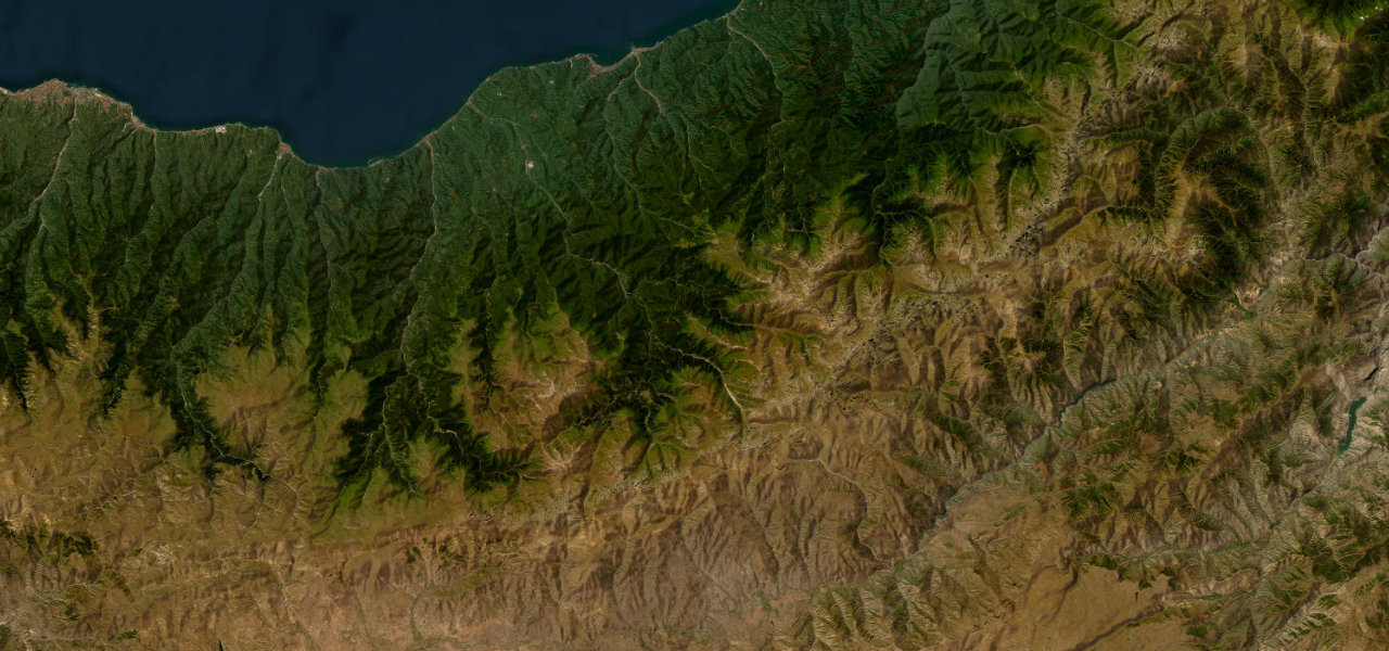
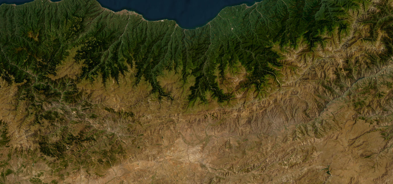
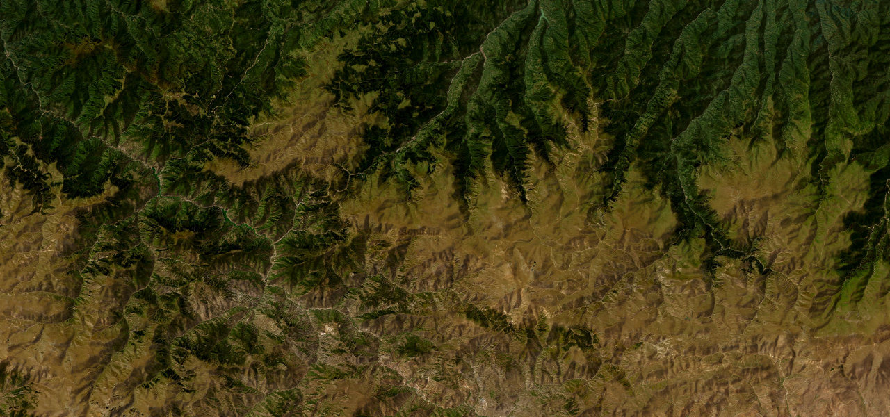
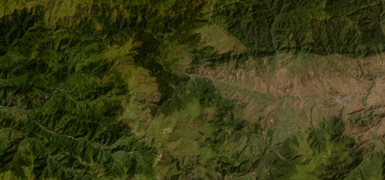
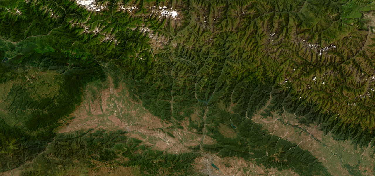
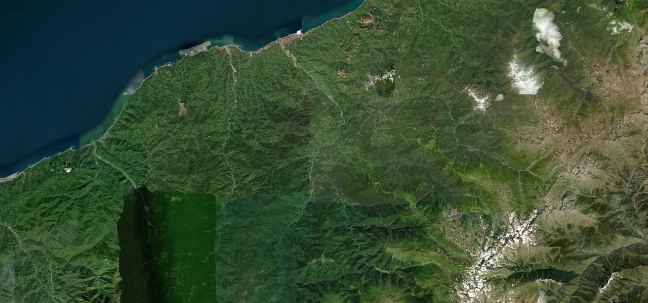
The Fırtına Valley road climbs from the Black Sea coast through a dramatic green gorge carved by the Storm River, past more than twenty Ottoman stone arch bridges, to the mountain plateau of Ayder at 1,350 m, gateway to the Kaçkar Mountains.
Turning south off the coastal highway at Ardeşen, the road enters the Fırtına ('storm') Valley, hugging the river through a steep green canyon for some 40 km with rapids below and Ottoman stone bridges spanning the water, tea plantations giving way to montane forest. At Çamlıhemşin the valley forks; the eastern branch climbs 19 km to Ayder Plateau at 1,350 m, a traditional yayla with hot springs. The ruined 14th-century Zilkale castle is visible en route.
Scenery
Where it runs
Navigate to the start: Apple Maps · Google Maps
Character
Elevation
under 4%4–8%over 8%5 – 1,124 mPoints of interest
- ATV SAFARİ TOURSLandmark
Hazards
- Winter snow and ice, chains required
- Narrow sections near river crossings
- Rapidly changing mountain weather
- Fill up before leaving the coast at Ardeşen
Sources: Road geometry © OpenStreetMap contributors
Nearby roads
The closest great drives to Fırtına Valley Road.