Vayots Dzor · Armenia
Selim Pass
M10Martuni to Yeghegnadzor
Distance32.7 mi53 km
Drive time1 h 5 minon the road
DifficultyModeratetightness 5 of 10
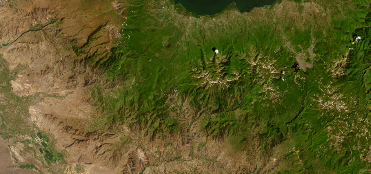
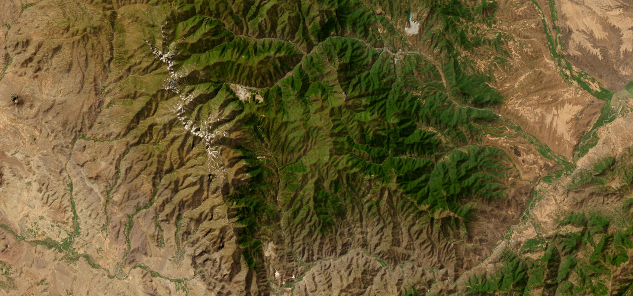
Armenia’s most celebrated mountain road climbs from Lake Sevan to a 2,410 m summit crowned by a perfectly preserved 14th-century Silk Road caravanserai, then descends into the wine valleys of Vayots Dzor.
The road leaves Martuni on Lake Sevan and ascends through alpine steppe, hairpin after hairpin with the lake glittering behind. At the summit stands Orbelian’s Caravanserai (1332), the finest surviving Silk Road waystation in Armenia, before the road drops sharply into the Vayots Dzor canyon to Yeghegnadzor. Asphalt throughout but potholed.
Scenery
MountainValleyLakes
Where it runs
MartuniStart · Vayots Dzor
YeghegnadzorEnd · Vayots Dzor
Navigate to the start: Apple Maps · Google Maps
Character
Corners34bends
Tightness5of 10
Max gradient13%≈ 1-in-8
Hairpins3tight bends
Descent1,309 mtotal descent
Summit2,407 mhighest point of the line · 7,897 ft
Elevation
under 4%4–8%over 8%1,107 – 2,407 mHazards
- potholes
- rockfall
- steep grades
- hairpin bends
- snow and ice in shoulder seasons
Sources: Road geometry © OpenStreetMap contributors
Nearby roads
The closest great drives to Selim Pass.
Selim Pass
Directions