Syunik · Armenia
Meghri Pass
M2Kapan to Meghri
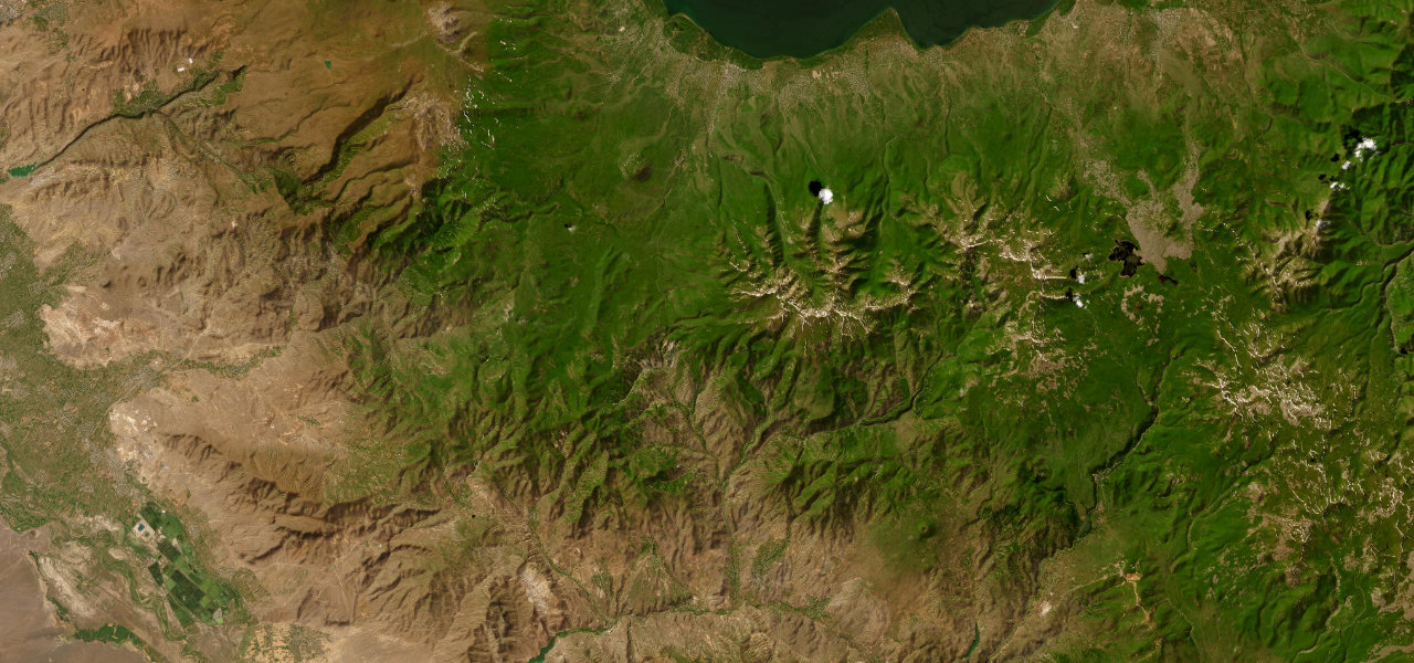
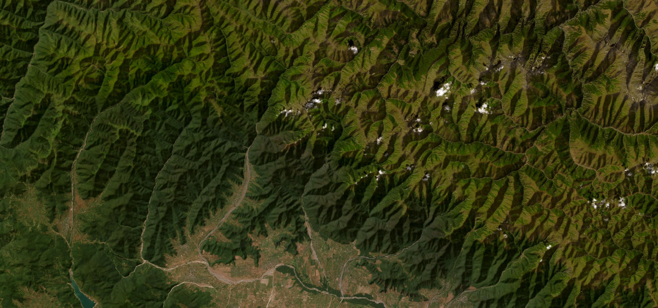
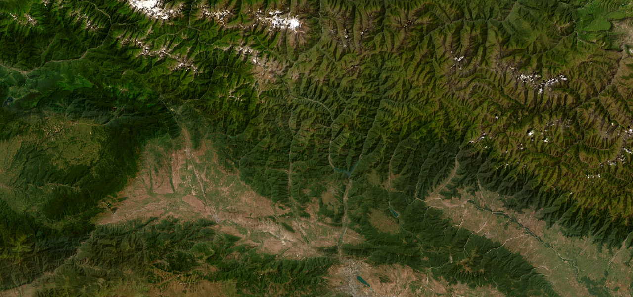
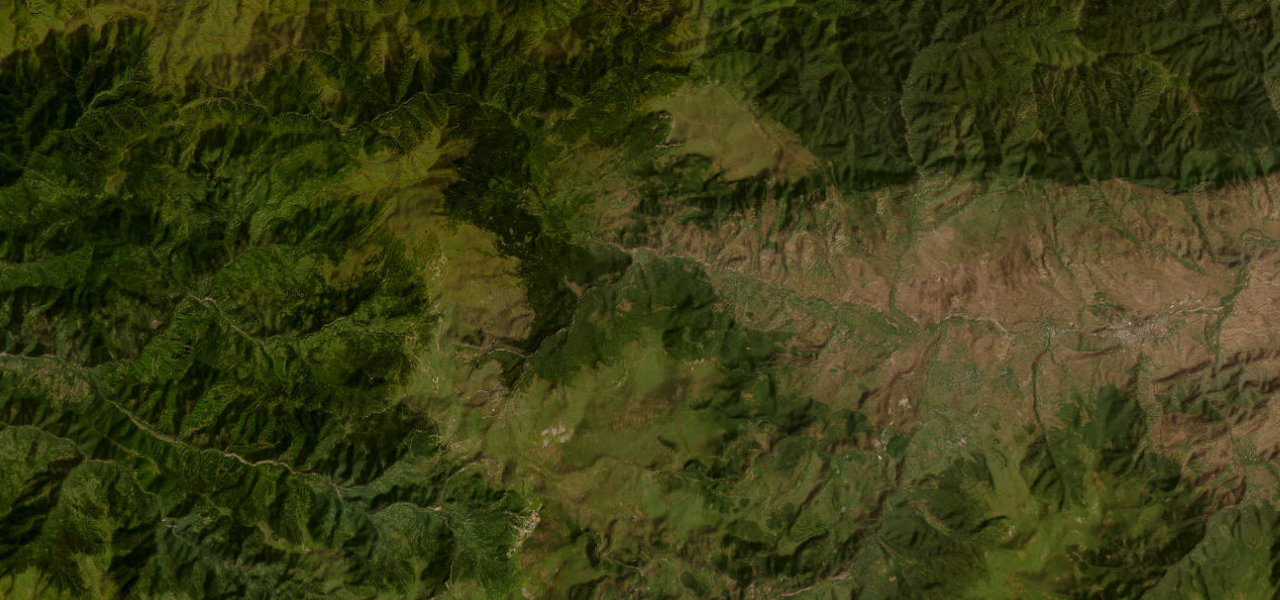
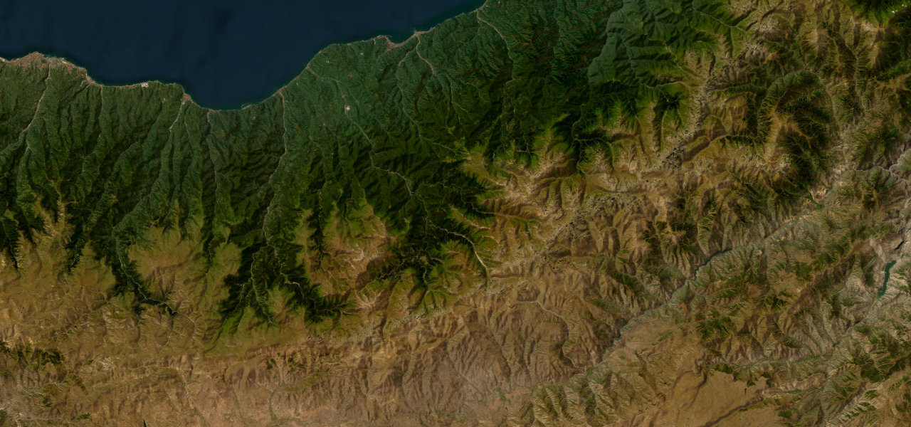
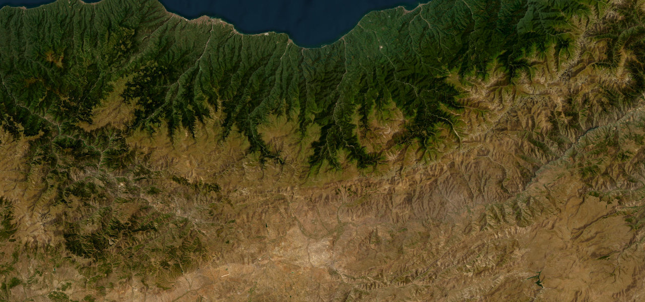
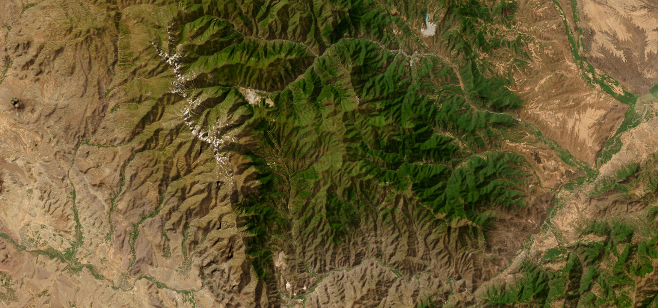
Armenia’s highest paved road at 2,535 m, the Meghri Pass climbs through relentless switchbacks from the subtropical south near the Iranian border to bare Syunik highland with views into Iran and Azerbaijan.
From Kapan in the forested Vorotan valley the road climbs through Arevik National Park, the gradient unrelenting through hundreds of switchbacks to the Tashtun saddle at 2,535 m, before an equally dramatic descent to Meghri, a town so far south it grows pomegranates and figs, near the Agarak crossing into Iran.
Scenery
Where it runs
Navigate to the start: Apple Maps · Google Maps
Character
Elevation
under 4%4–8%over 8%655 – 2,524 mHazards
- very steep grades
- endless switchbacks
- rapid weather changes
- avalanche risk
- limited rescue in winter
See the typical season and live conditions for the high passes ›
Sources: Road geometry © OpenStreetMap contributors
Nearby roads
The closest great drives to Meghri Pass.