İsmayıllı Rayon · Azerbaijan
Lahıc Road
Y31-07Təzəkənd to Lahıc
Distance10.9 mi18 km
Drive time25 minon the road
DifficultyExperttightness 8 of 10
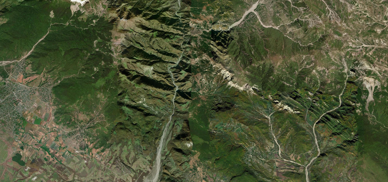
An audacious 19 km climb through the Girdimançay river gorge to the 2,000-year-old copper-craft village of Lahıc at 1,375 m, one of the most dramatic approach roads in the Caucasus.
Turning off the main İsmayıllı highway near Təzəkənd, the road enters the Girdimançay gorge, crossing the river then hugging the cliff face for most of its length, a single lane hewn from rock with sheer drops on one side and vertical walls on the other. The surface degrades to rough track near the top, arriving at the UNESCO-recognised copper-working village of Lahıc.
Scenery
GorgeMountainValley
Where it runs
TəzəkəndStart · İsmayıllı Rayon
LahıcEnd · İsmayıllı Rayon
Navigate to the start: Apple Maps · Google Maps
Character
Corners28bends
Tightness8of 10
Max gradient12%≈ 1-in-8
Climb515 mtotal ascent
Summit1,191 mhighest point of the line · 3,907 ft
Elevation
under 4%4–8%over 8%750 – 1,191 mPoints of interest
- SeyrangahViewpoint
- Zəmava asma körpüsüLandmark
- ŞəlaləLandmark
Hazards
- Rockfall and landslides leaving boulders on the road surface
- Precipitous 300 m drops with minimal or no guardrails
- Road narrows to a single lane on cliff-hewn ledges above the gorge
- Seasonal washouts after heavy rain
- Winter isolation from ice and snow
Sources: Road geometry © OpenStreetMap contributors
Nearby roads
The closest great drives to Lahıc Road.
Lahıc Road
Directions