Quba Rayon · Azerbaijan
Quba–Xınalıq Road
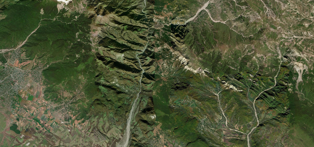
Y40-15Quba to Xınalıq
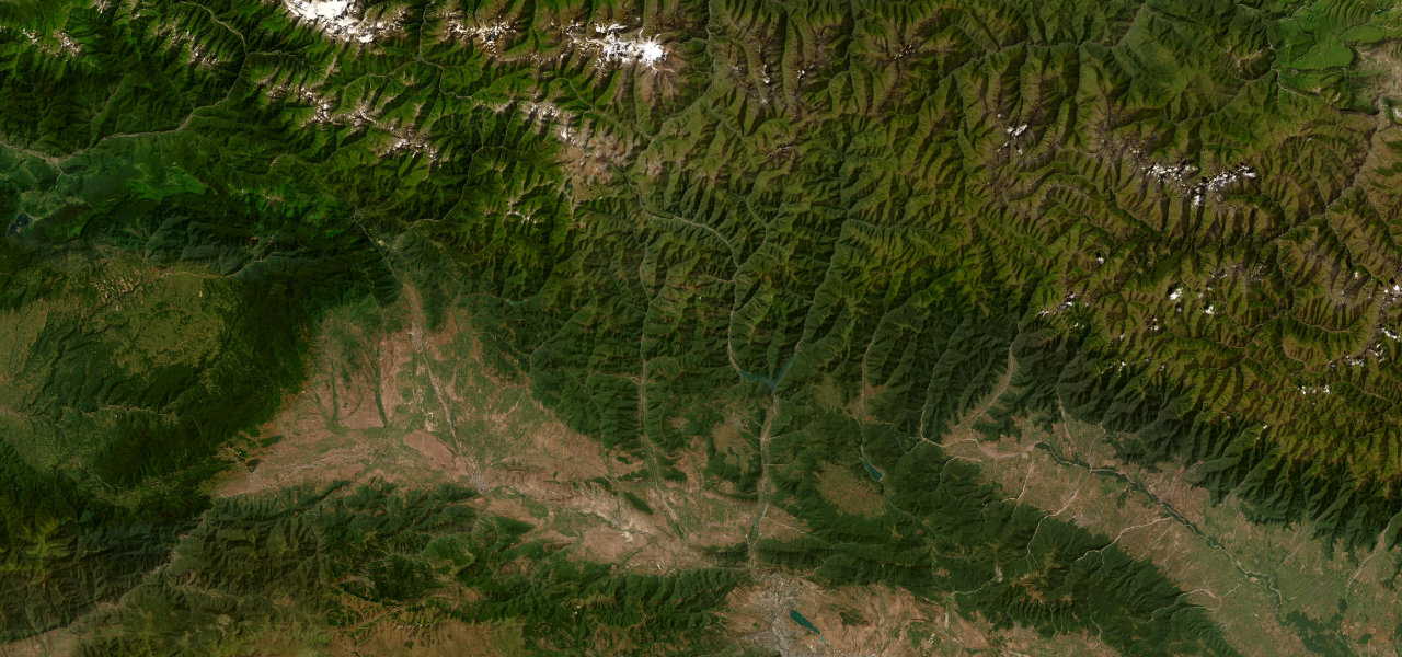
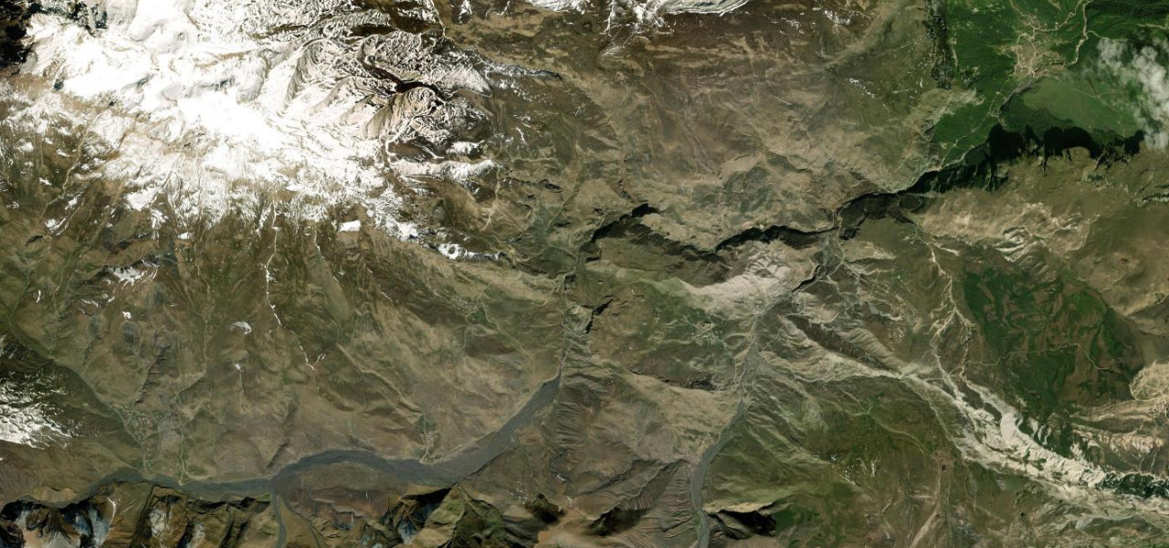
A spectacular mountain climb from the ancient town of Quba into the high Caucasus, ending at Xınalıq, one of the highest and most isolated villages in Europe at 2,350 m.
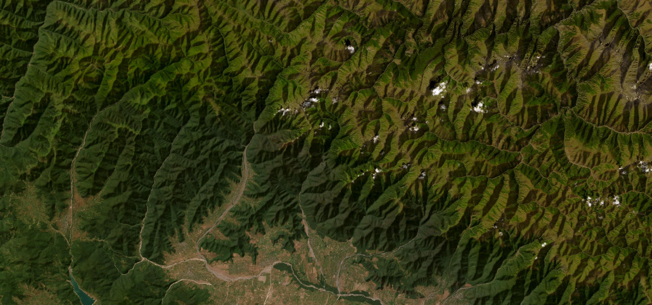
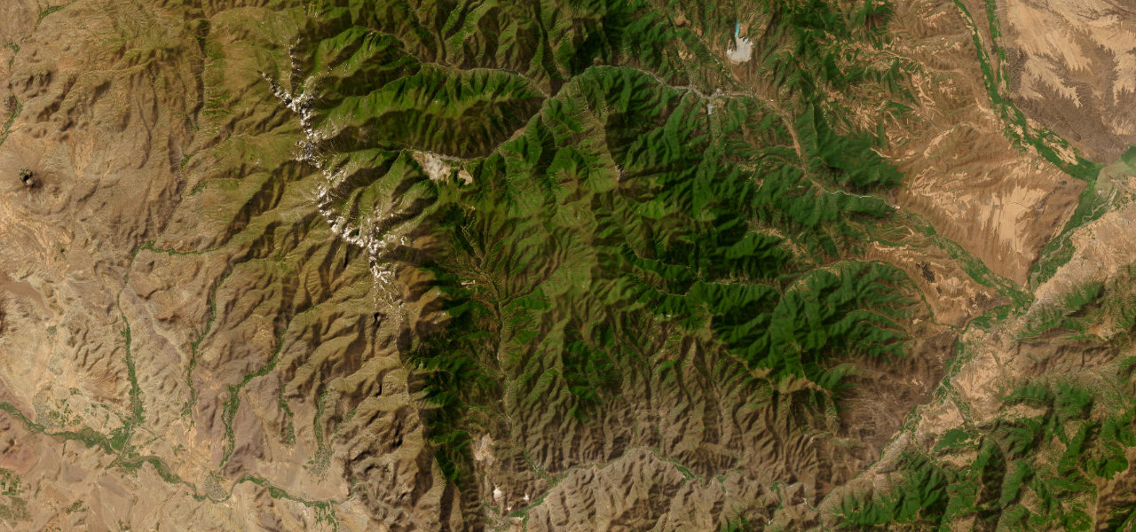
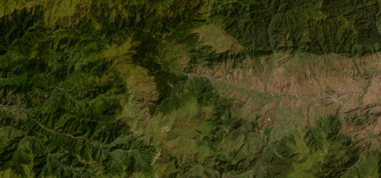
From Quba the road climbs steadily south-west into the Greater Caucasus, paved but narrow with tight switchbacks above deep ravines and sweeping valley views. A short gravel stretch marks the final approach into Xınalıq, whose stone houses cling to a ridge at 2,350 m, passing the candy-striped mineral mountains en route. Winter closes the road entirely.
Scenery
Where it runs
Navigate to the start: Apple Maps · Google Maps
Character
Elevation
under 4%4–8%over 8%1,308 – 2,181 mHazards
- Avalanches and landslides closing the road in winter
- Narrow single-lane sections with sheer drops and no barriers
- Rockfall on exposed cliff faces
- Road impassable in deep snow
See the typical season and live conditions for the high passes ›
Sources: Road geometry © OpenStreetMap contributors
Nearby roads
The closest great drives to Quba–Xınalıq Road.