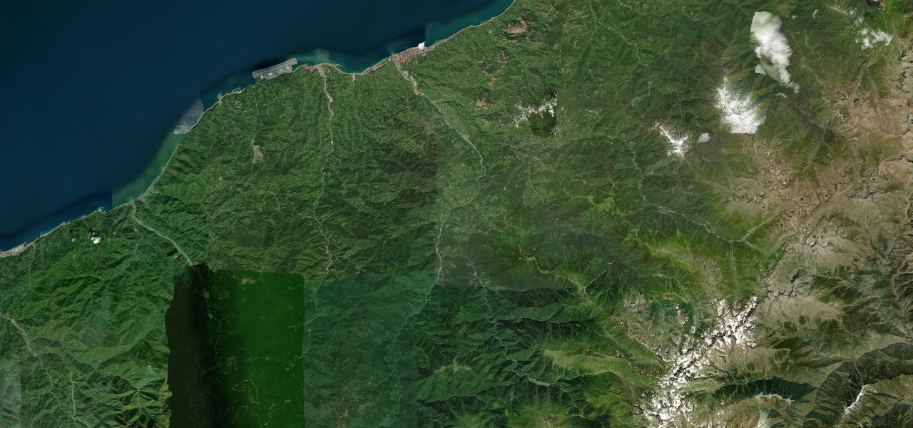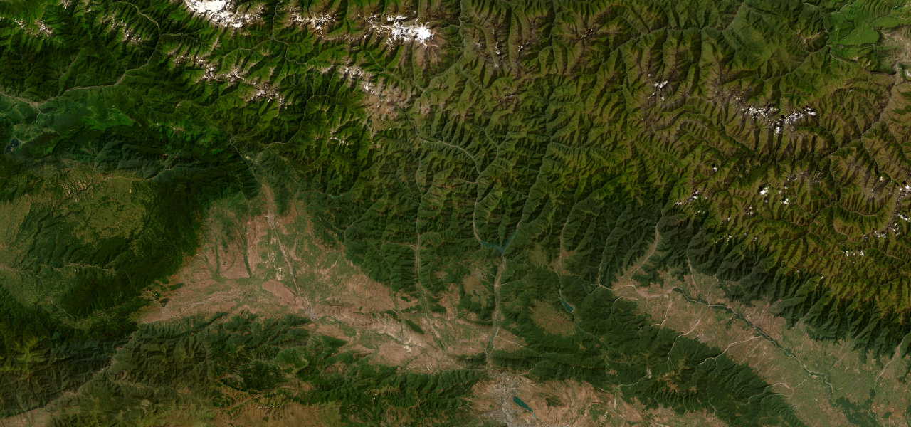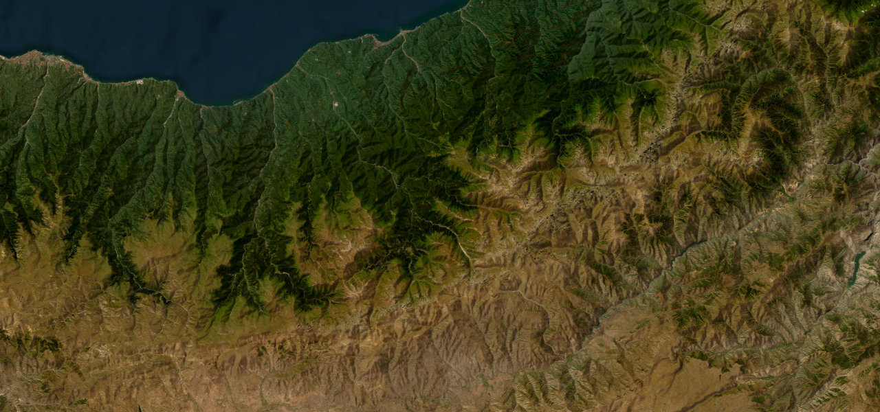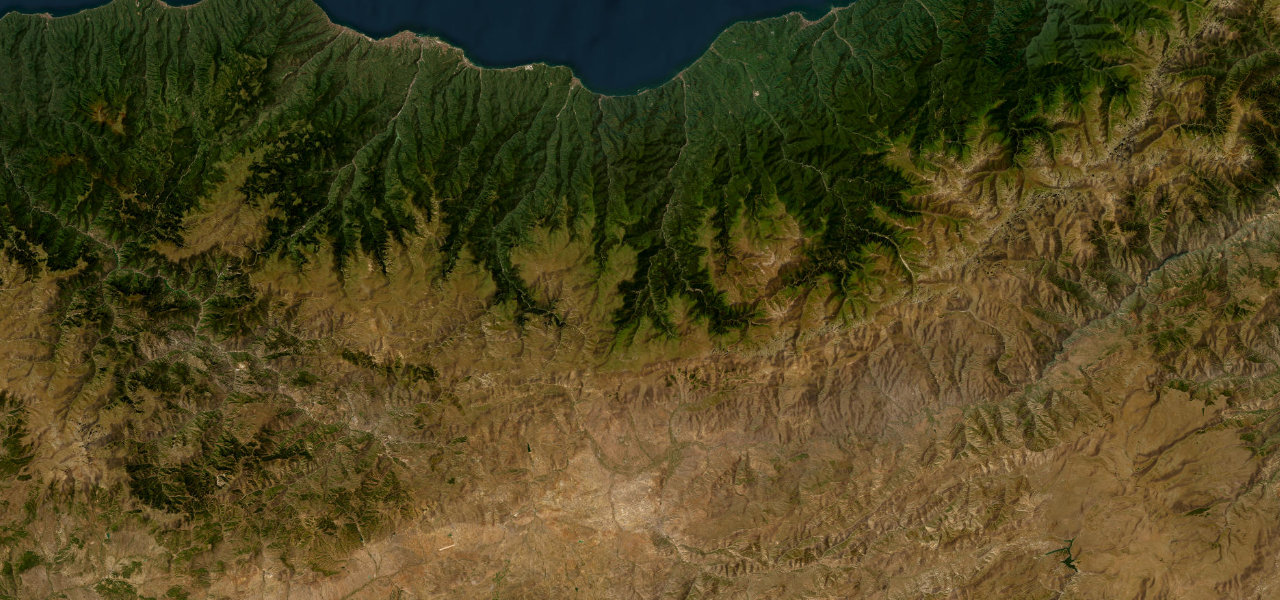
Adjara / Samtskhe-Javakheti · Georgia
Goderdzi Pass
Khulo to Akhaltsikhe
The hidden connector between subtropical Adjara and the fortress city of Akhaltsikhe, crossing a 2,025 m pass through beech forest, alpine meadow and volcanic plateau that almost nobody drives.
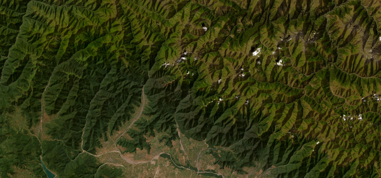
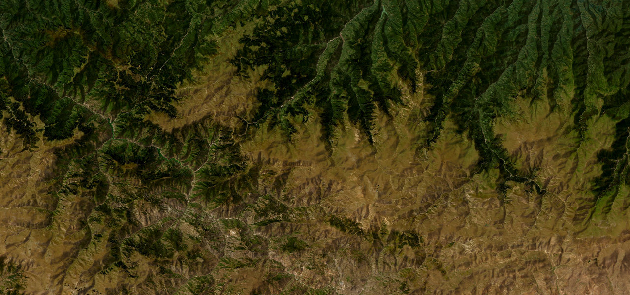
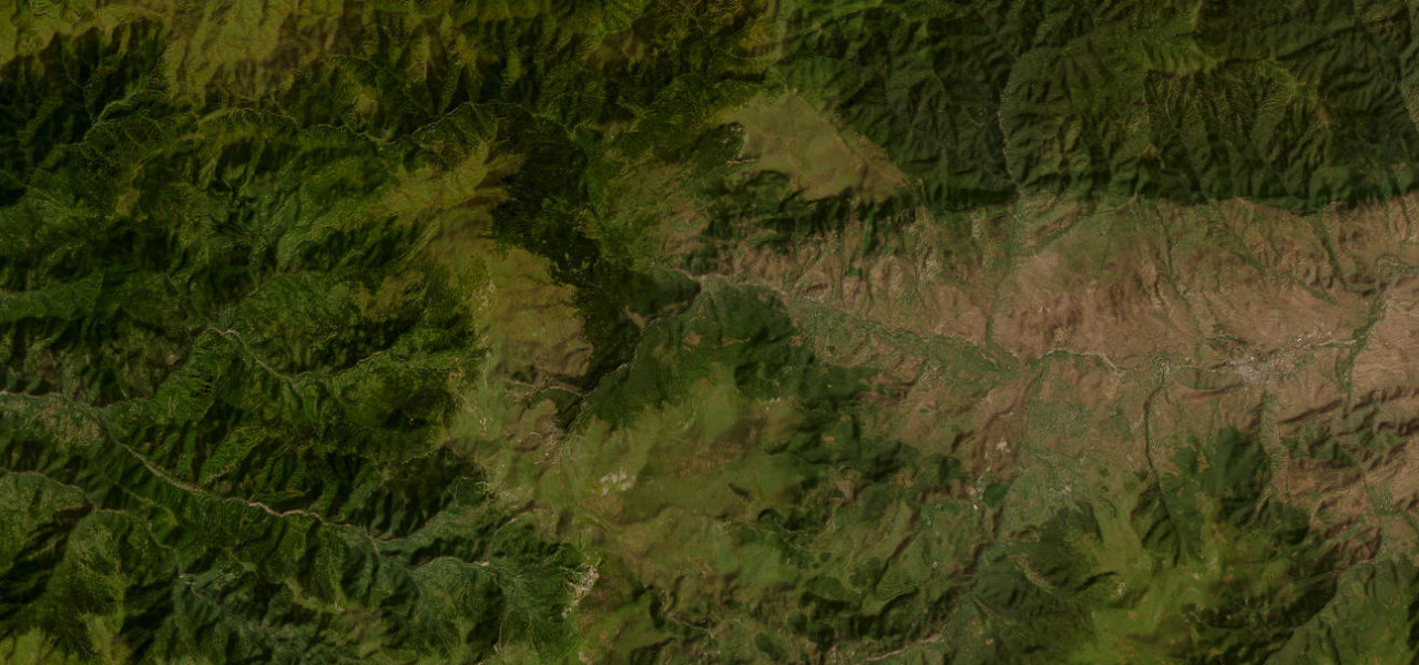
The road climbs from the Adjaran town of Khulo through dense beech and spruce forest, shedding the Black Sea air as it rises. The central section around the 2,025 m Goderdzi Pass is unpaved, a rolling plateau of volcanic rock and summer wildflowers, before the road drops into the Samtskhe plateau toward Akhaltsikhe and its heavily restored Rabati Castle. Passable in a standard car June–October.
Scenery
Best seasons
In these collections
In these Grand Tours
Goderdzi Pass on the map47.6 mi · point to point
Navigate to the start: Apple Maps · Google Maps
Character
Corners
busiest around mile 24Elevation
under 4%4–8%over 8%738.3 – 2,032.3 mPoints of interest2 stops
- Goderdzi PassViewpoint16 mi in
- Petrified wood trunkLandmark23 mi in
Hazards
- Unpaved central section
- Impassable in winter
- Snow tunnel sections
- Steep descents
- No barrier on cliff sections
Is Goderdzi Pass open? Typical season and live summit weather ›
Sources
“The scenery rivals the splendor of Svaneti, with each turn of the road revealing new, awe-inspiring vistas.”
Verified route: mapped from real road geometry and fact-checked by a human editor. How roads get checked
Driving the Goderdzi Pass: quick answers
How long does it take to drive the Goderdzi Pass?
How difficult is the Goderdzi Pass to drive?
When is the best time to drive the Goderdzi Pass?
Is the Goderdzi Pass fully paved?
Nearby roads
The closest great drives to Goderdzi Pass.