Trabzon / Bayburt · Turkey
Derebaşı Bends
D915Of to Bayburt
Turkey’s most extreme mountain road climbs 13 consecutive guardrail-free hairpins through Mount Soğanlı, with sheer drops of hundreds of metres and gradients hitting 17%.
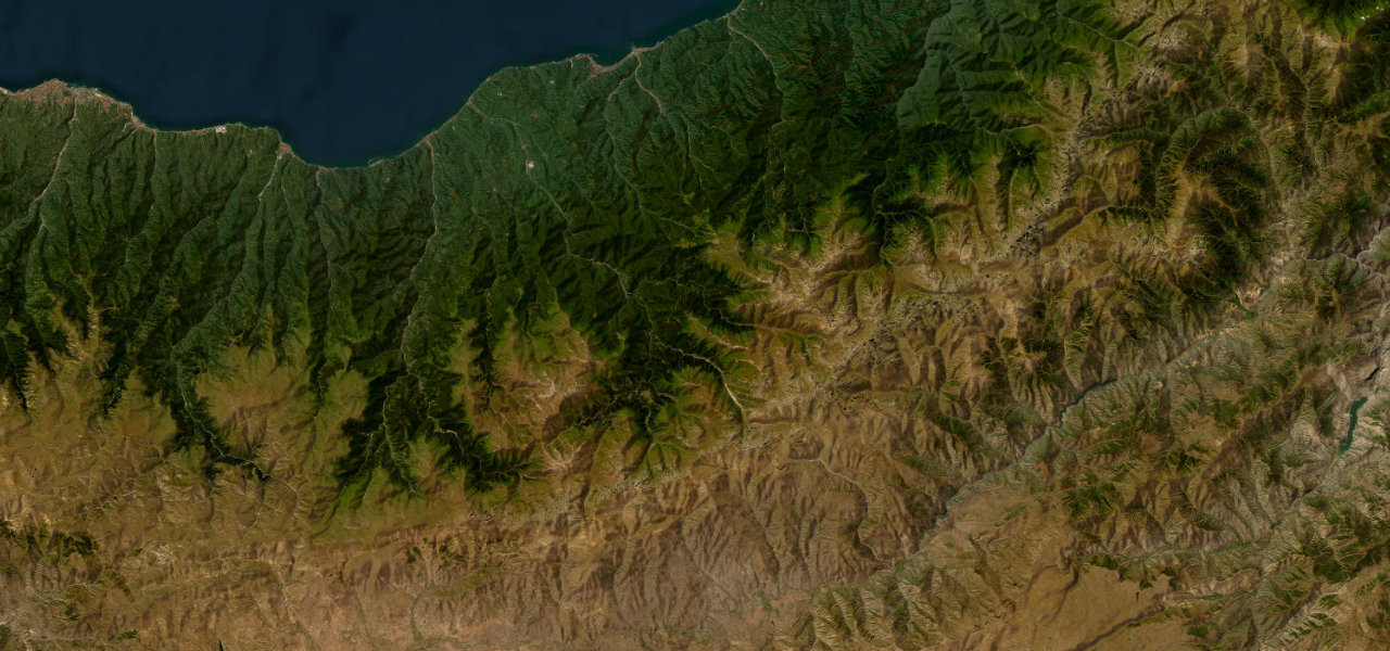
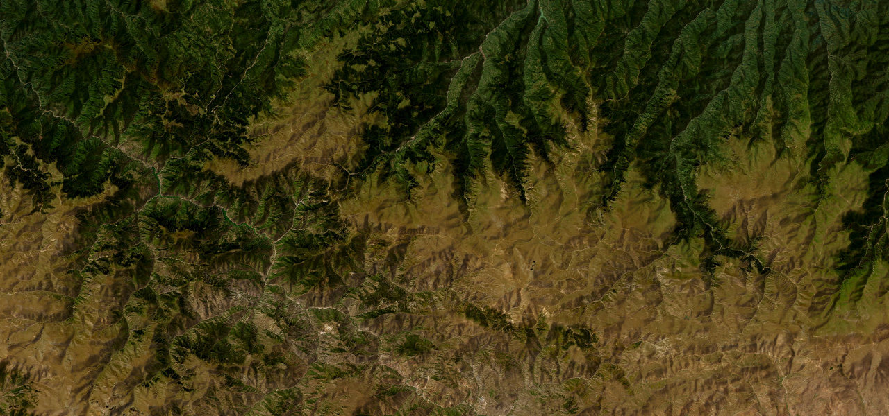
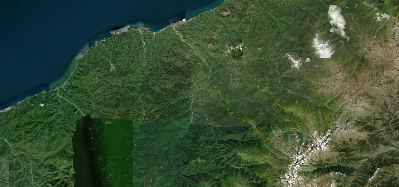
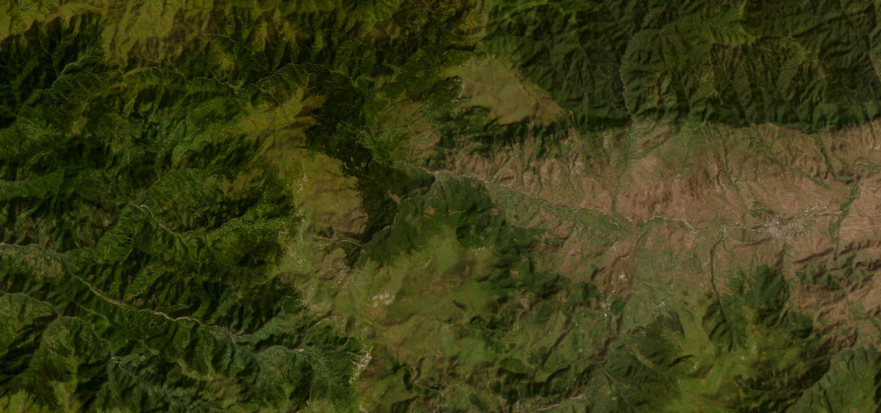
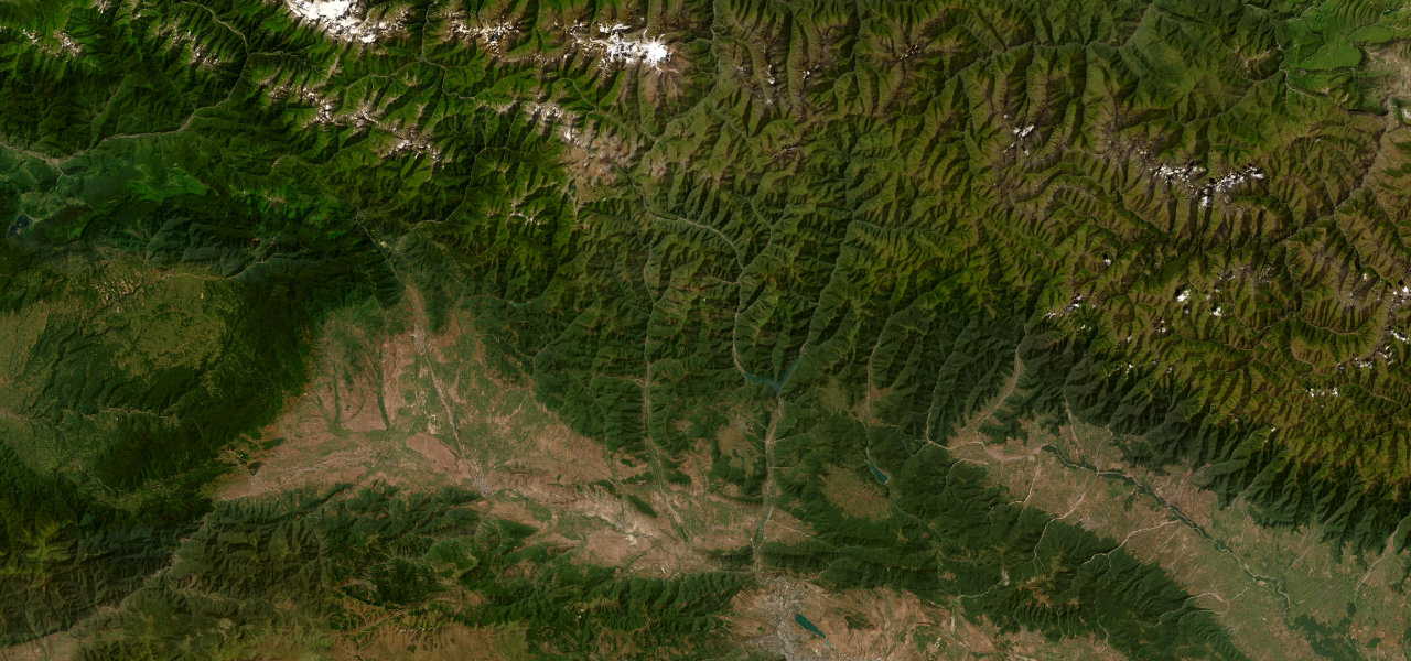
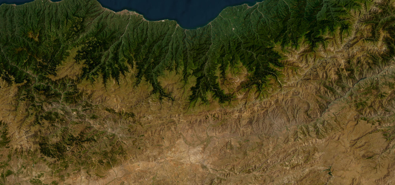
The D915 runs from the Black Sea town of Of across the Pontic Mountains to Bayburt, crossing the Soğanlı Pass at 2,330 m. Its centrepiece is the Derebaşı section near Çaykara: 13 ferociously tight switchbacks compressed into roughly 5 km with no barrier between the road and a sheer face. The surface is mixed asphalt and gravel and is closed for around eight months a year by snow.
Turkey’s most extreme mountain road: thirteen guardrail-free hairpins stacked up a sheer face with drops of hundreds of metres, built by hand in 1916 and open barely four months a year.
Why we picked it
Scenery
Best seasons
In these collections
In these guides
Derebaşı Bends on the map62.0 mi · point to point
Navigate to the start: Apple Maps · Google Maps
Character
Steeper than 9 in 10 roads here in the catalogue.
Corners
busiest around mile 47Elevation
under 4%4–8%over 8%11.7 – 2,579.9 mPoints of interest3 stops
- Soğanlı GeçidiViewpoint41 mi in
- Aydıntepe Yer Altı ŞehriLandmark50 mi in
- Bayburt KalesiLandmark61 mi in
Hazards
- No guardrails on cliff sections
- Gradients to 17%
- Loose gravel and eroding edges
- Heavy truck traffic
- Closed late October to late June by snow
- Fog near Soğanlı Pass
Is Derebaşı Bends open? Typical season and live summit weather ›
Sources
“The hairpin bends so tight that sometimes I had to reverse a little in the knowledge that it was a matter of centimetres to a sheer drop.”
Verified route: mapped from real road geometry and fact-checked by a human editor. How roads get checked
Driving the Derebaşı Bends: quick answers
How long does it take to drive the Derebaşı Bends?
How difficult is the Derebaşı Bends to drive?
When is the best time to drive the Derebaşı Bends?
Is the Derebaşı Bends fully paved?
Nearby roads
The closest great drives to Derebaşı Bends.