
 Country guide
The best driving roads in Georgia
All 3 hand-picked driving roads in Georgia on one interactive map, every one traced from real geometry and fact-checked, including 2 world icons.
Roads32 world icons
Combined183 mi295 km of driving
High point2,865 m9,400 ft
The roads
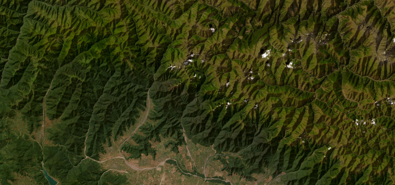
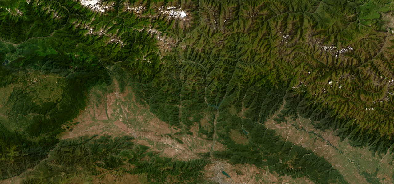
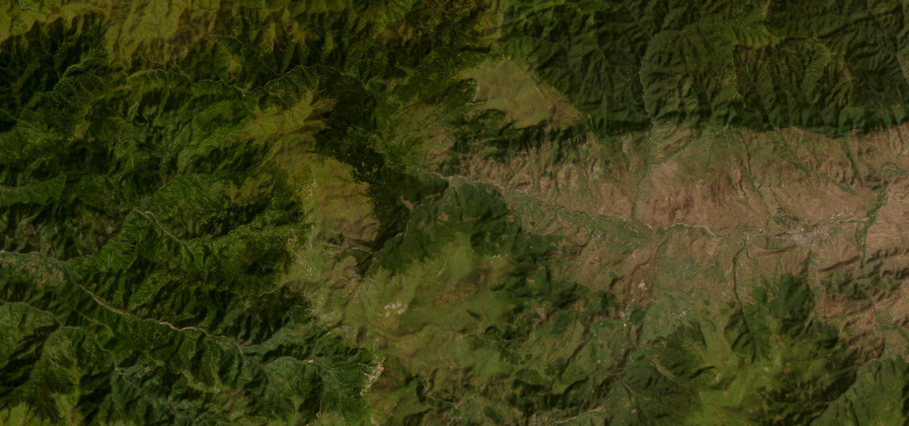
Collections featuring Georgia
Nearby countries

 Armenia
 Azerbaijan
 Turkey
Driving in Georgia: common questions
What is the best driving road in Georgia?
Abano Pass is the place to start. One of the world’s most extreme mountain drives: an entirely unpaved Soviet-era track climbing to 2,826 m with no guardrails, opening the ancient highland province of Tusheti for about 16 weeks a year.
How many great driving roads does Georgia have?
3 hand-picked and fact-checked roads, including 2 world icons, 183 miles of driving in all, every one mapped from real road geometry.
When is the best time to drive in Georgia?
Most of the roads here are at their best in summer and autumn. Several of the higher routes close over winter, so check the season before a cold-weather trip.
What is the highest road in Georgia?
Abano Pass is the highest, climbing to about 2,865 m (9,400 ft).