
 Country guide
Driving roads in Armenia
All 2 hand-picked driving roads in Armenia on one interactive map, every one traced from real geometry and fact-checked.
Roads2hand-picked
Combined77 mi124 km of driving
High point2,555 m8,383 ft
The roads
Collections featuring Armenia
Nearby countries

 Azerbaijan
 Georgia
 Iran
IranDriving in Armenia: common questions
What is the best driving road in Armenia?
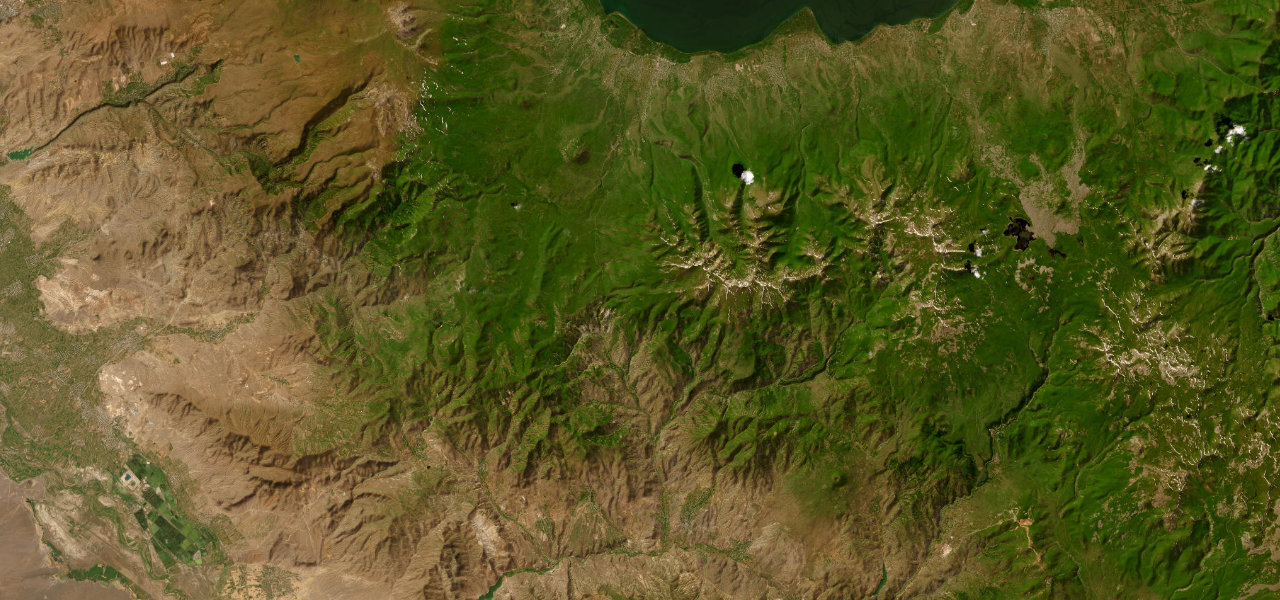
Selim Pass is the place to start. Armenia’s most celebrated mountain road climbs from Lake Sevan to a 2,410 m summit crowned by a perfectly preserved 14th-century Silk Road caravanserai, then descends into the wine valleys of Vayots Dzor.
How many great driving roads does Armenia have?
2 hand-picked and fact-checked roads, 77 miles of driving in all, every one mapped from real road geometry.
When is the best time to drive in Armenia?
Most of the roads here are at their best in spring and summer. Several of the higher routes close over winter, so check the season before a cold-weather trip.
What is the highest road in Armenia?
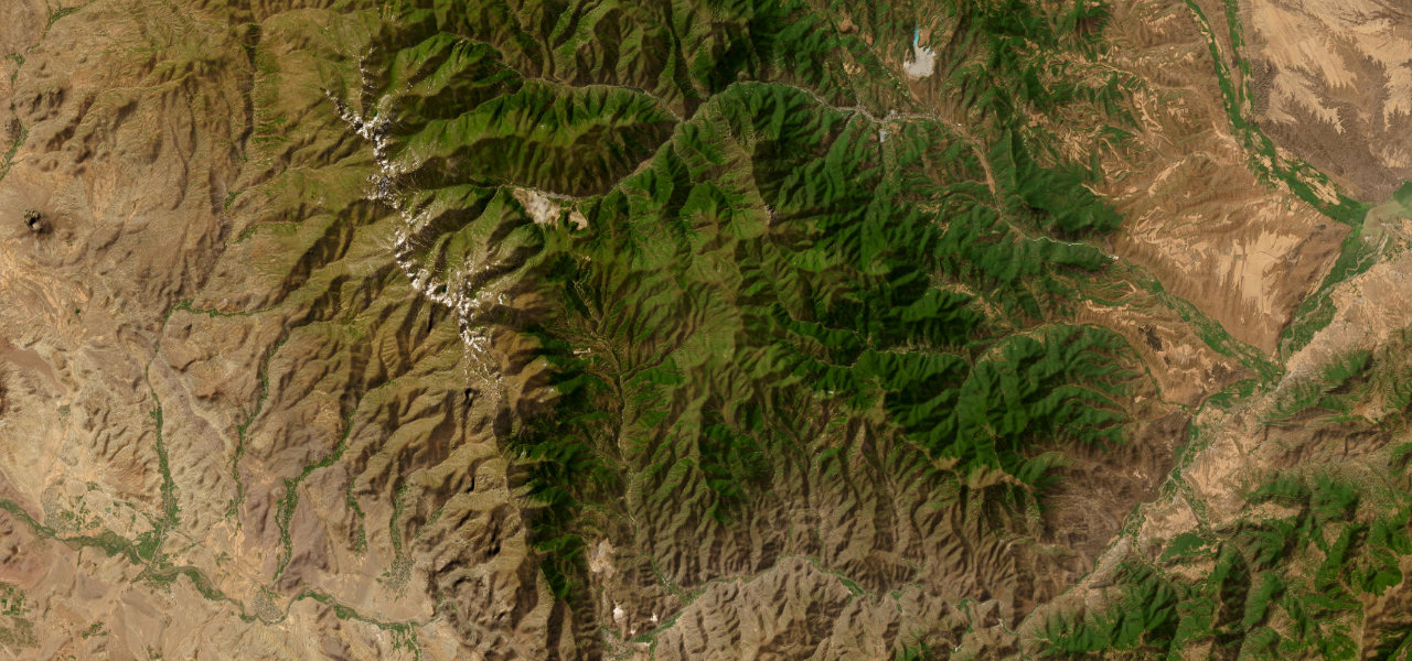
Meghri Pass is the highest, climbing to about 2,555 m (8,383 ft).