Troodos Mountains · Cyprus
Troodos Mountain Road
B8Pano Platres to Troodos Square
Distance5.2 mi8.4 km
Drive time11 minon the road
DifficultyModeratetightness 6 of 10
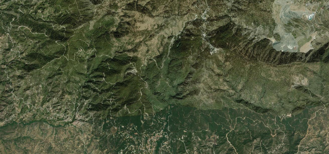
The B8 climbs from the Limassol foothills through dense cedar and pine forest to Troodos Square at 1,700 m, within reach of Cyprus’s highest peak, Mount Olympus (1,952 m).
From Pano Platres the B8 ascends northeast through fragrant pine and cedar forest, gaining over 800 m in roughly 12 km on well-signed bends and good asphalt. At the top, Troodos Square is the hub for the Artemis and Atalante trails, with a spur to the Olympus summit domes; the descent passes Byzantine-chapel villages.
Scenery
MountainForestValley
Where it runs
Pano PlatresStart · Troodos Mountains
Troodos SquareEnd · Troodos Mountains
Navigate to the start: Apple Maps · Google Maps
Character
Corners23bends
Tightness6of 10
Max gradient13%≈ 1-in-8
Climb733 mtotal ascent
Summit1,756 mhighest point of the line · 5,761 ft
Elevation
under 4%4–8%over 8%1,080 – 1,756 mHazards
- tight hairpins
- sharp blind bends near Moniatis
- rockfall after rain
- snow and ice in winter
- sudden fog
Sources: Road geometry © OpenStreetMap contributors
Nearby roads
The closest great drives to Troodos Mountain Road.
Troodos Mountain Road
Directions