Bursa Province · Turkey
Uludağ Mountain Road
D575Bursa to Uludağ Hotel Zone
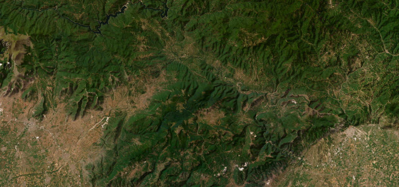
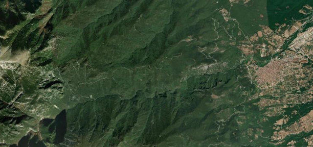
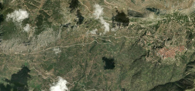
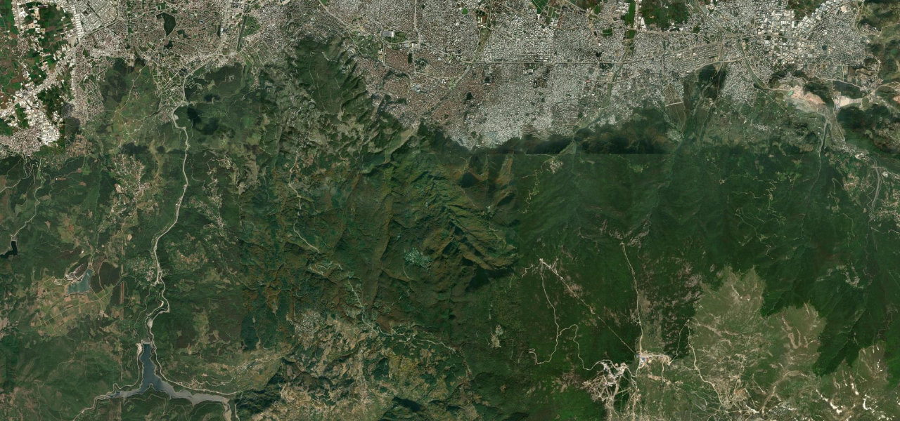
The D575 climbs from the spa district of Bursa through continuous pine and beech forest to Turkey’s most celebrated ski resort on Uludağ, the ancient Olympus of Bithynia, gaining over 1,400 m in just 35 km.
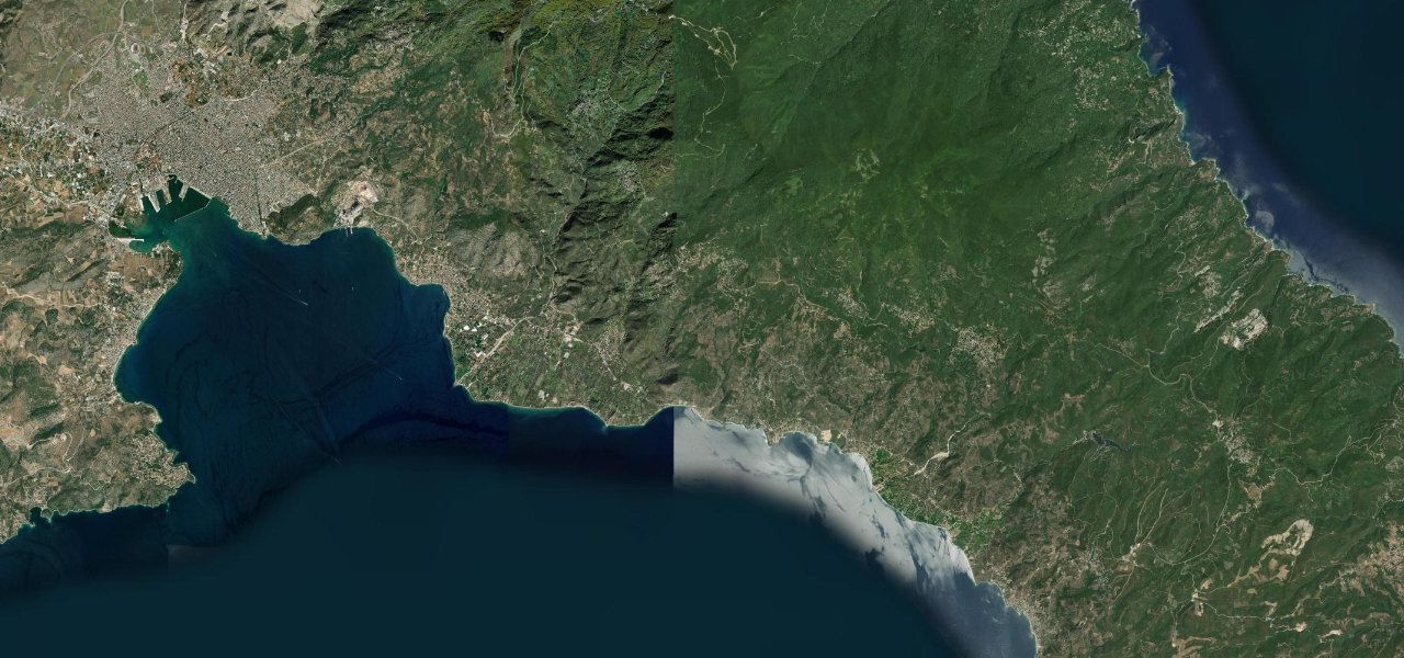
Departing Çekirge on the edge of Bursa, the D575 winds 22 km uphill through dense forest to the Karabelen park gate where the city falls away behind, a 6% average gradient on well-maintained tarmac. Beyond the gate it continues 13 km through Uludağ National Park to the hotel zone at around 1,870 m, with exceptional views back over Bursa and the Marmara plain on clear days.
Where it runs
Navigate to the start: Apple Maps · Google Maps
Character
Elevation
under 4%4–8%over 8%179 – 1,862 mPoints of interest
- TophaneViewpoint
- Tarihi ÇınarLandmark
Hazards
- Snow and ice December to April, chains mandatory beyond the park gate
- Short-term winter closures
- Steep gradient averaging 6%
- National park entrance fee
See the typical season and live conditions for the high passes ›
Sources: Road geometry © OpenStreetMap contributors
Nearby roads
The closest great drives to Uludağ Mountain Road.